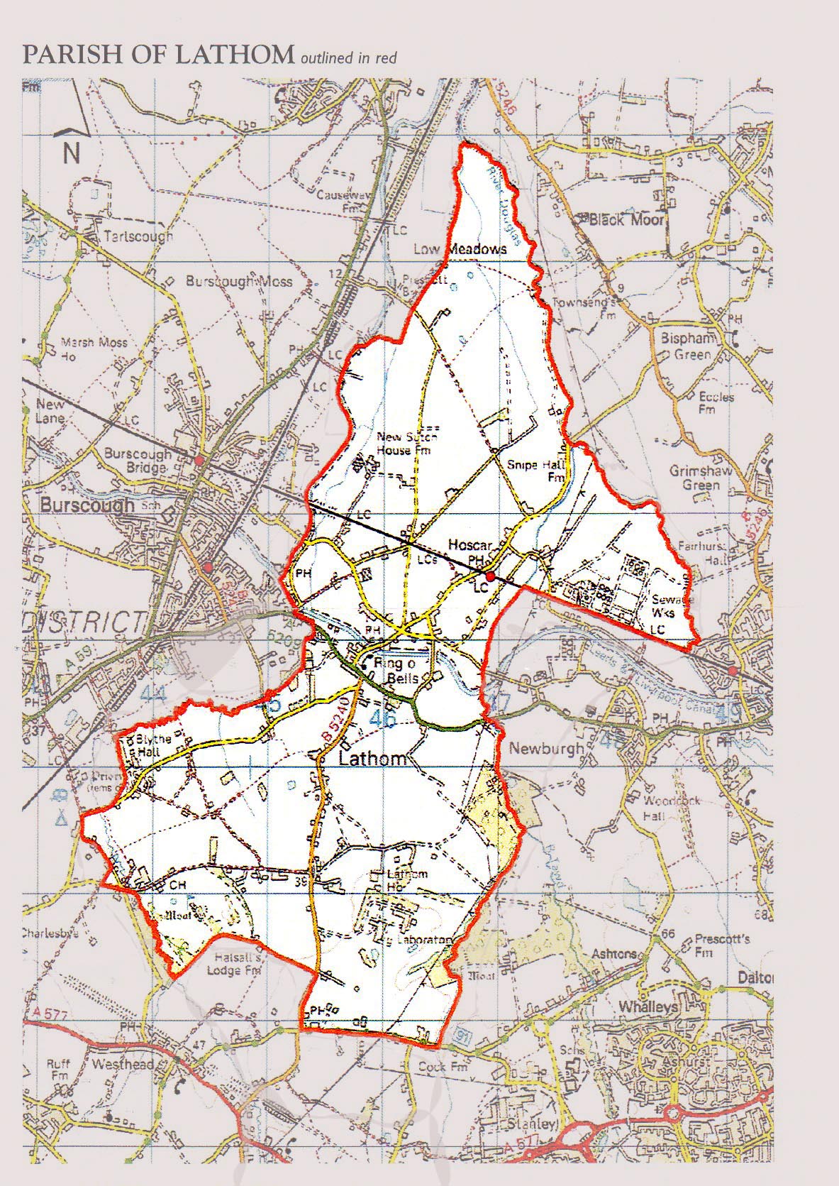
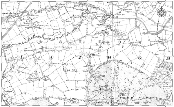
Lathom, which measured about six miles from north to south, covered an area of 8,694½ acres in west Lancashire. The River Tawd and Eller Brook flow through the township to join the River Douglas, which forms part of its northern boundary. Lathom House and park are between the brooks at the centre of the township. At the north of the township is Hoscar Moss which is less than 25 feet above sea level, to the south is New Park. To the west of the Eller Brook is Warpers Moss and in the south is the hamlet of Westhead, near Cross Hall. The main roads in the north pass west to east from Burscough to Newburgh, and in the south from Ormskirk to Dalton. There are roads leading north from Bickerstaffe and Skelmersdale.
To the west of the township the land is flat but to the east it rises to 215 feet above sea-level. To the south the land is flat and in the mid 19th century there were collieries. The geology of the western part of the township consists of the bunter series of the new red sandstone, with overlying beds of lower keuper sandstone, the eastern part lies on the Middle and Lower Coal Measures of the Lancashire Coalfield.