For those of you in the Shropshire “know” there are two Clee Hills. The Brown Clee (which I walked up many years ago and found not terribly interesting as a walk or a summit) and the wonderfully named Titterstone Clee Hill further south. I’ve driven over Clee Hill many times as a kid on my way to my nans caravan but I’d never actually been to the top of Titterstone. Time to put that right.
I was up early to take TJF to work so I was parked up in the village of Cleehill (note just one word) just after 8am.
It was a decidedly chilly morning, not really shorts weather so it was a brisk walk to start the day.
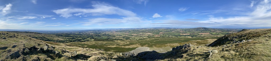
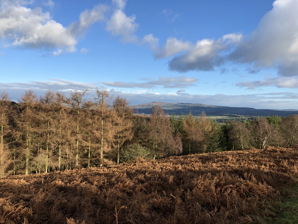
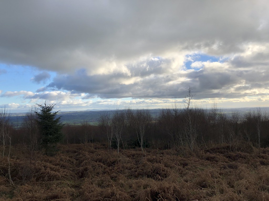
Panorama looking south from the toposcope near the car park.
I was fashioning a route on the fly, trying to string together a few paths, some that existed on the ground and some that didn’t – hence the rather random pattern on the route map near the start. Once I was up near Whatsill things improved in terms of both paths and weather as the sun started to come out.
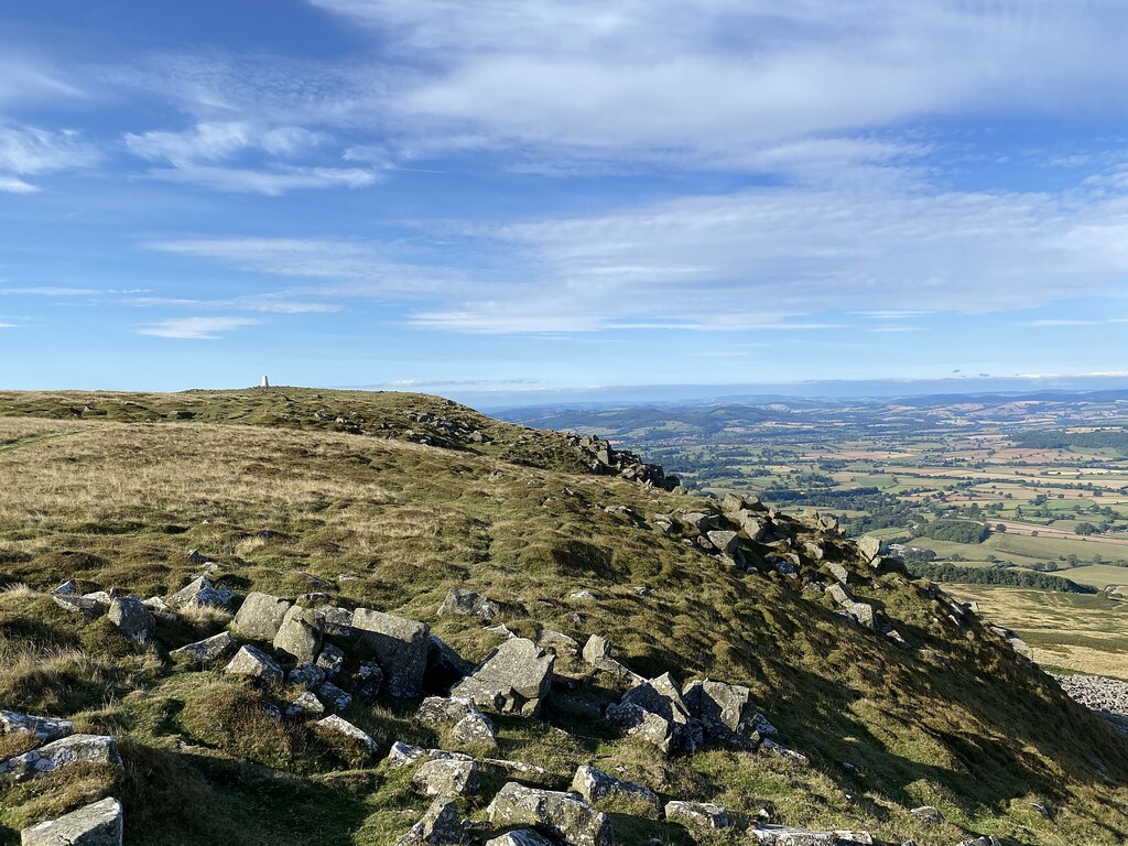
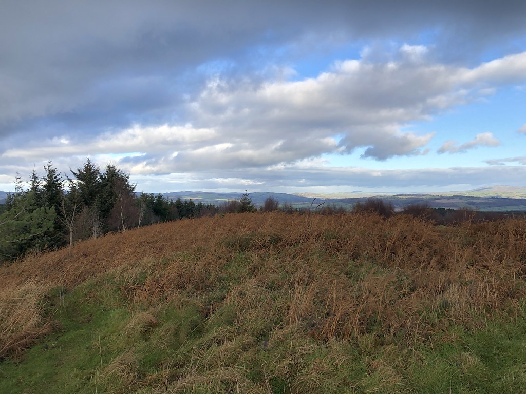
Its an odd landscape of grassy gorse, farmland and quarries.
And the odd small pond housing a few geese.
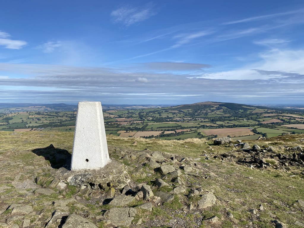
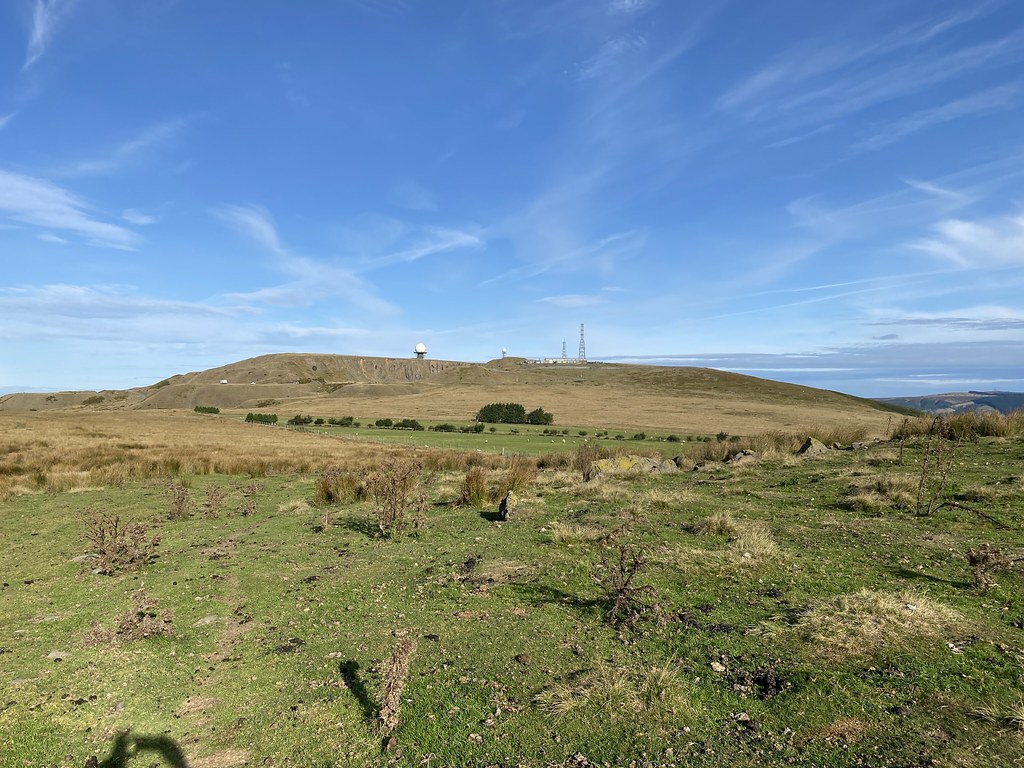
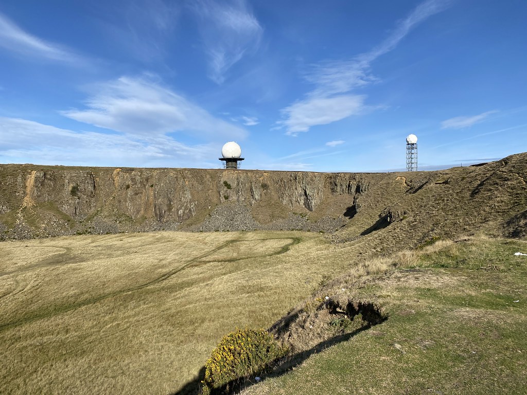
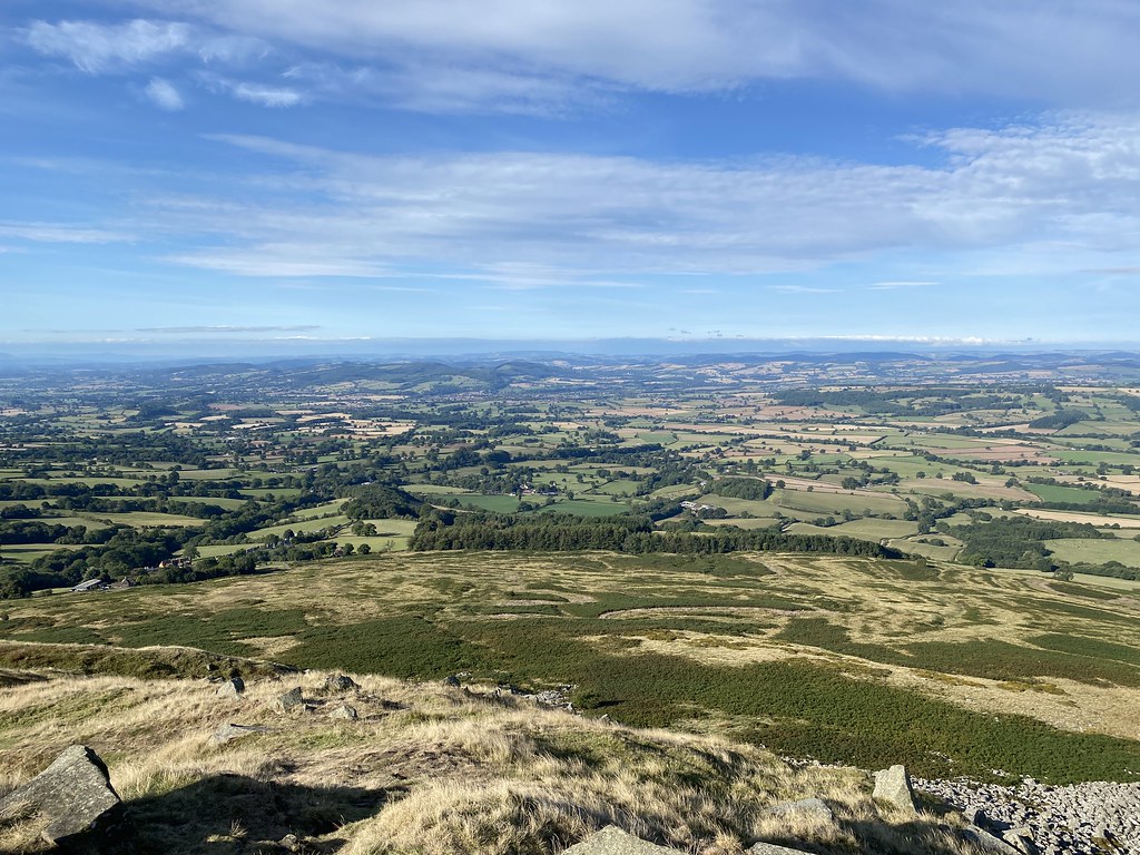
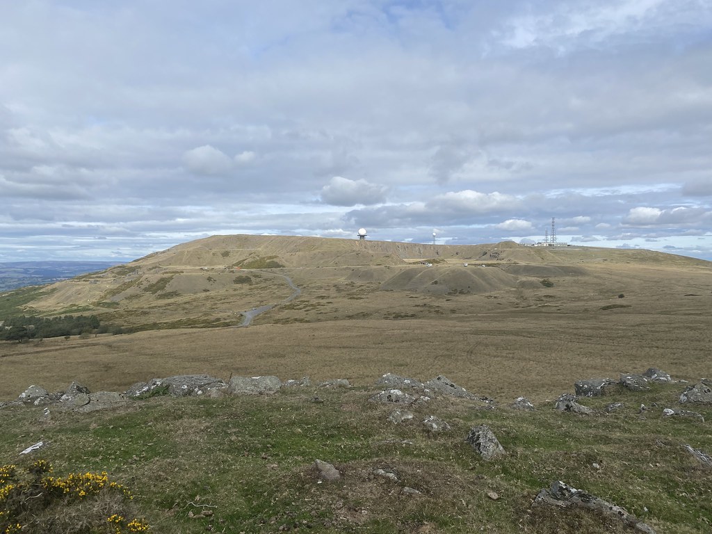
My main objective of the highest point crowned by the distinctive Radome. Its visible from some distance as this Clee is a lot more distinctive both in terms of shape and decoration than its higher neighbour.
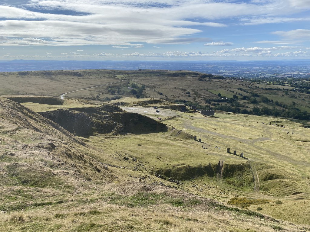
I had no idea from my many road journeys through Cleehill that the quarry up here was so expansive.
The equipment up here is part of NATS (National Air Traffic Control Systems) – I’ve always wondered what it was for.
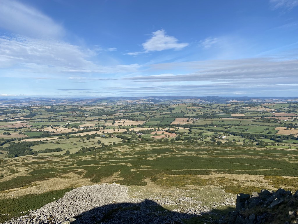
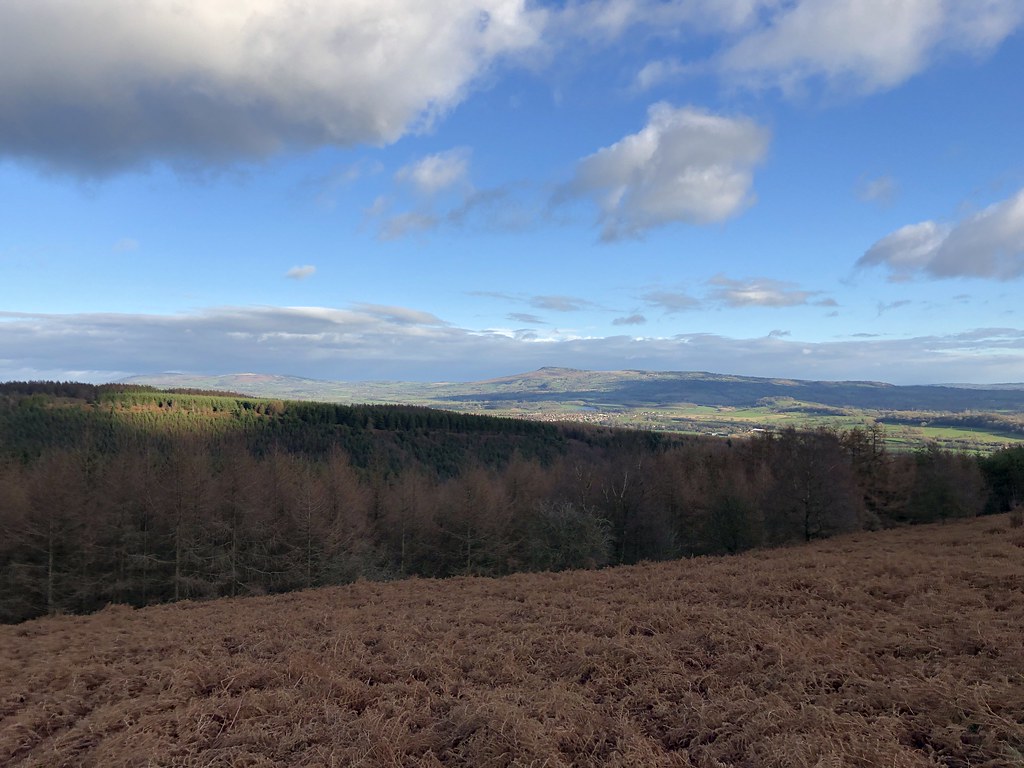
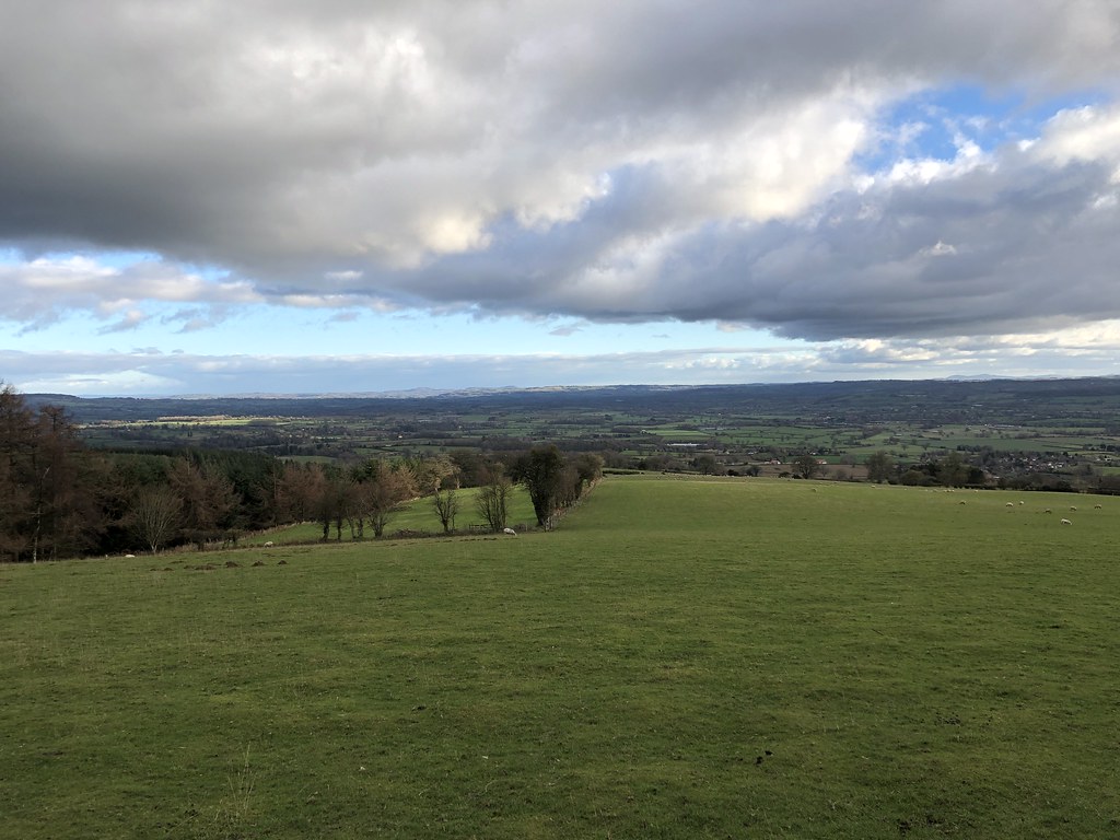
On reaching the top the sun was out in full force and the views were magnificent. This is the Brown Clee, highest point in Shropshire (Titterstone Clee Hill is 3rd highest after Stiperstones)
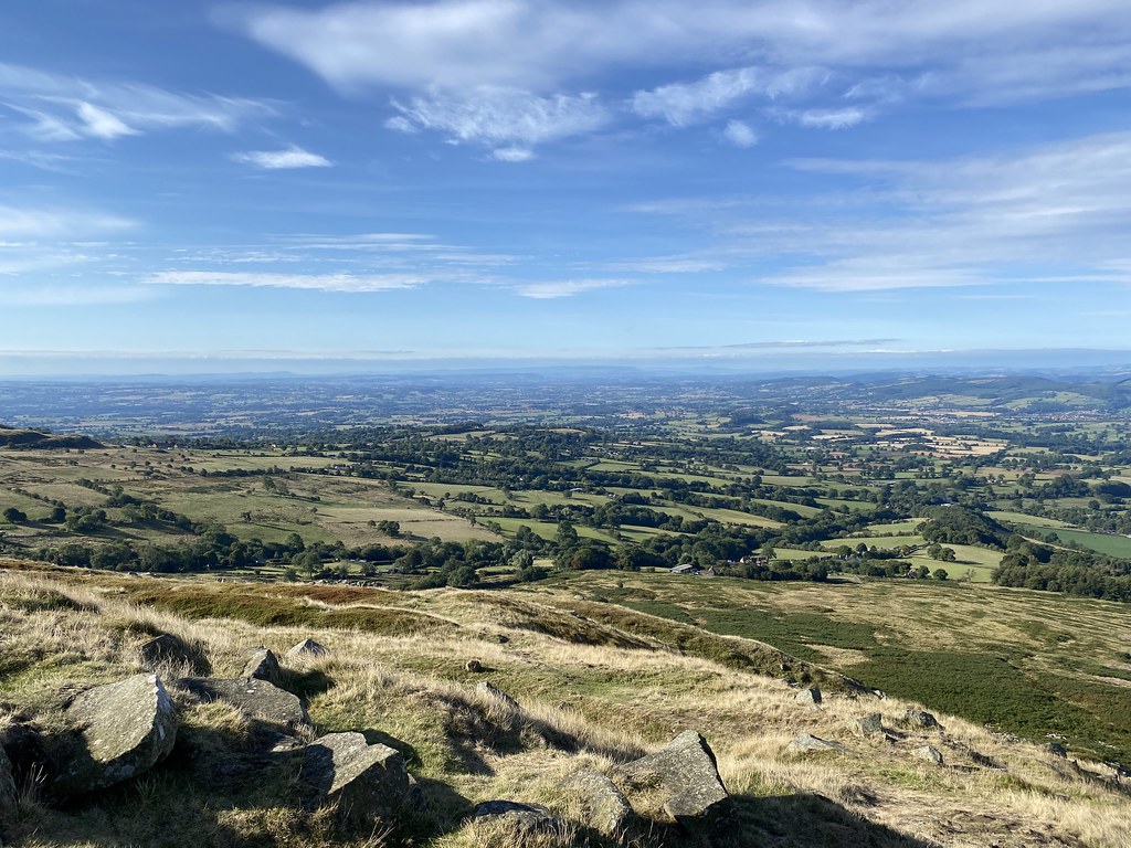
Over the town of Ludlow, The Marches and out to the Black Mountains and Brecon Beacons.
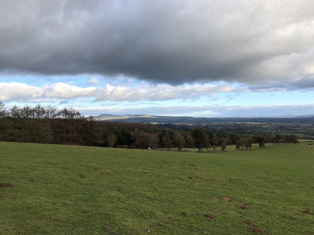
Pano from south to north looking west.
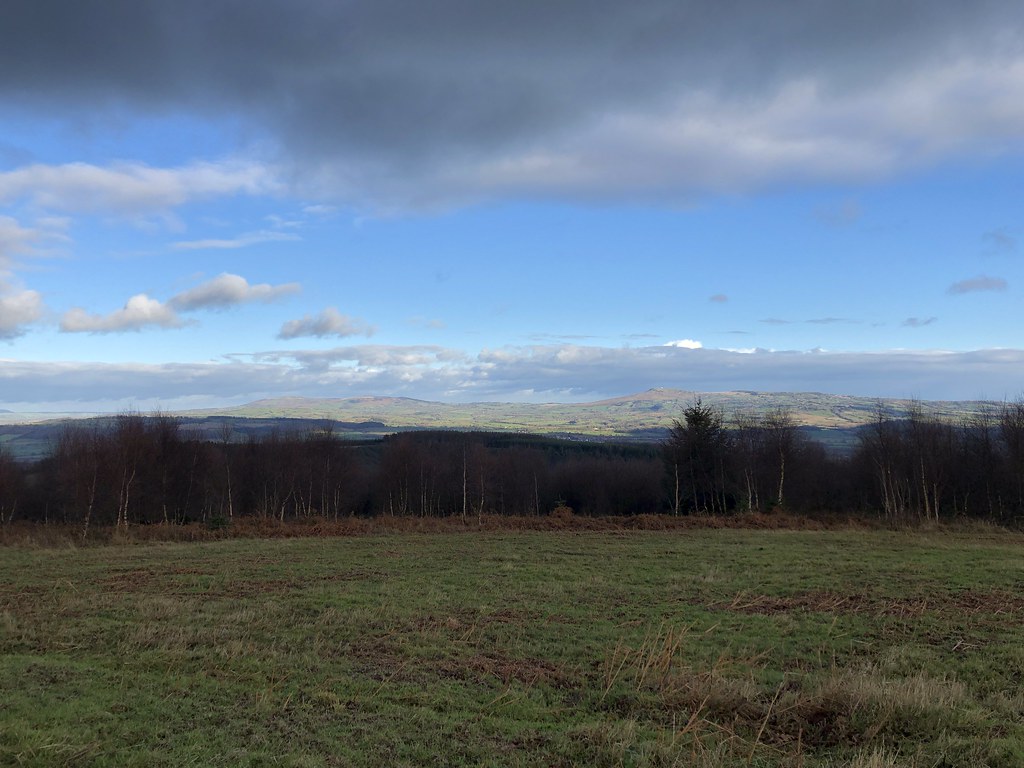
The Long Mynd and the Shropshire Hills.
A chatty guy I met on the top claimed it was recognised as the finest view in England. I’d debate whether that’s true as there must be loads of competition but it is pretty damn fine.
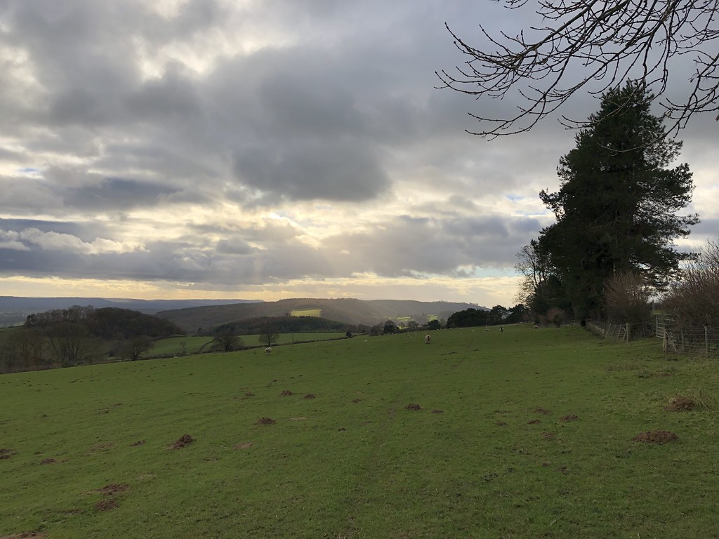
Looking north, Snowdonia just about visible on the distant horizon.
Looking back to the summit. Interestingly I messaged my friends with some smug photos, and the Peak District, not all that far from where I was as the crow flies is was apparently a pretty dreary and wet drizzly day.
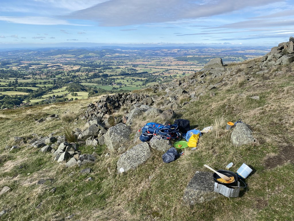
Time for a quesadilla breakfast on the top.
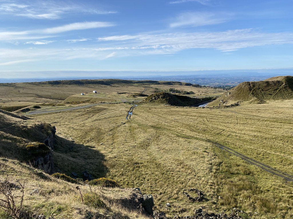
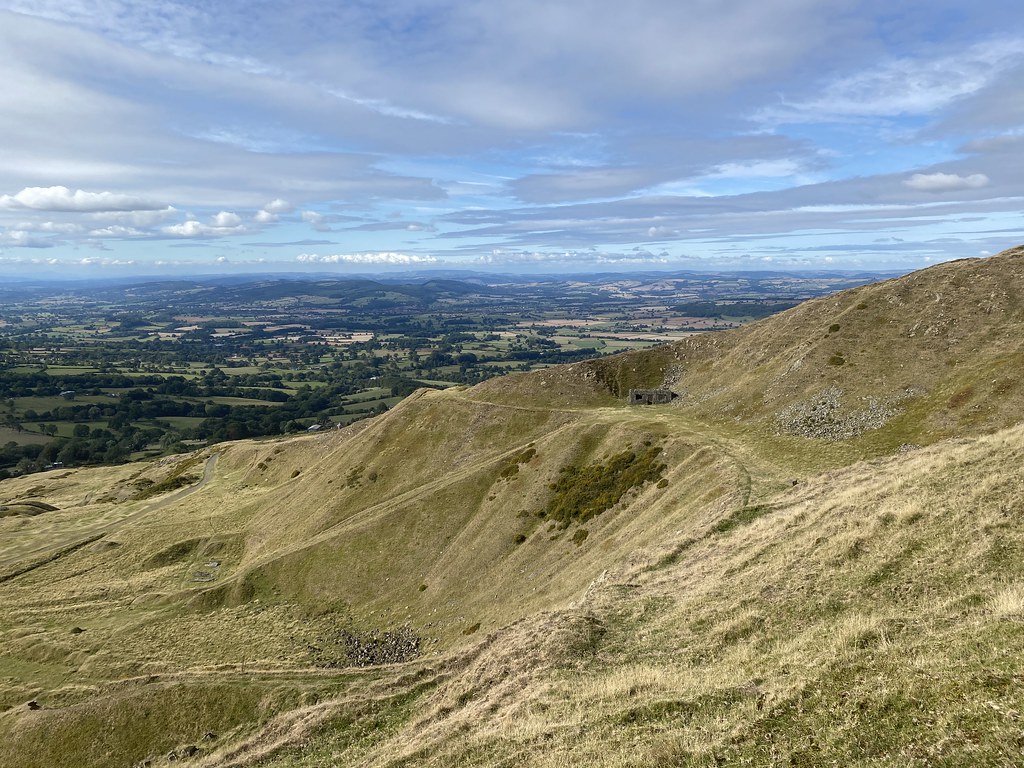
The quarries and industrial remnants on the western side of the summit. These scoops taken out of the hill are I assume what gives the peak its name of the Giants Chair.
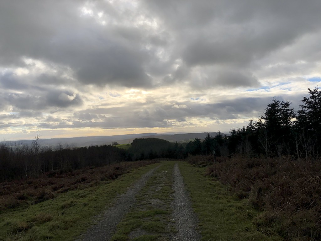
Time to head down along the exposed edges of the quarry.
I managed to fashion a route via thin paths through what must be little walked terrain and. back down to the car.
A long missing box ticked and back home for lunch. I’ll be back here again to keep checking if this is indeed Englands finest view!
This Marilyn bagging is becoming addictive, not in a completist sort of way (I have zero chance of ever finishing them even by country) but in a desire to explore new corners of my local parts of South Wales, the Marches and Shropshire.
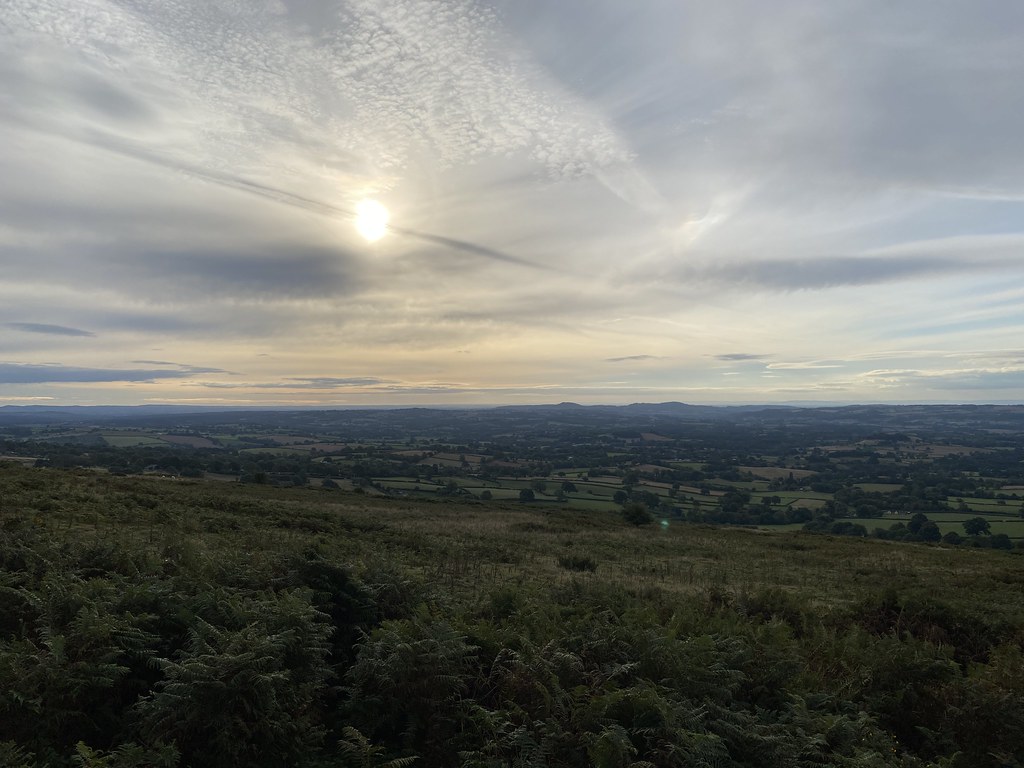
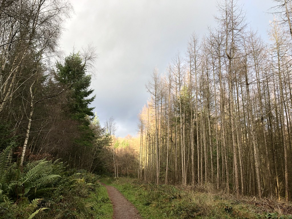
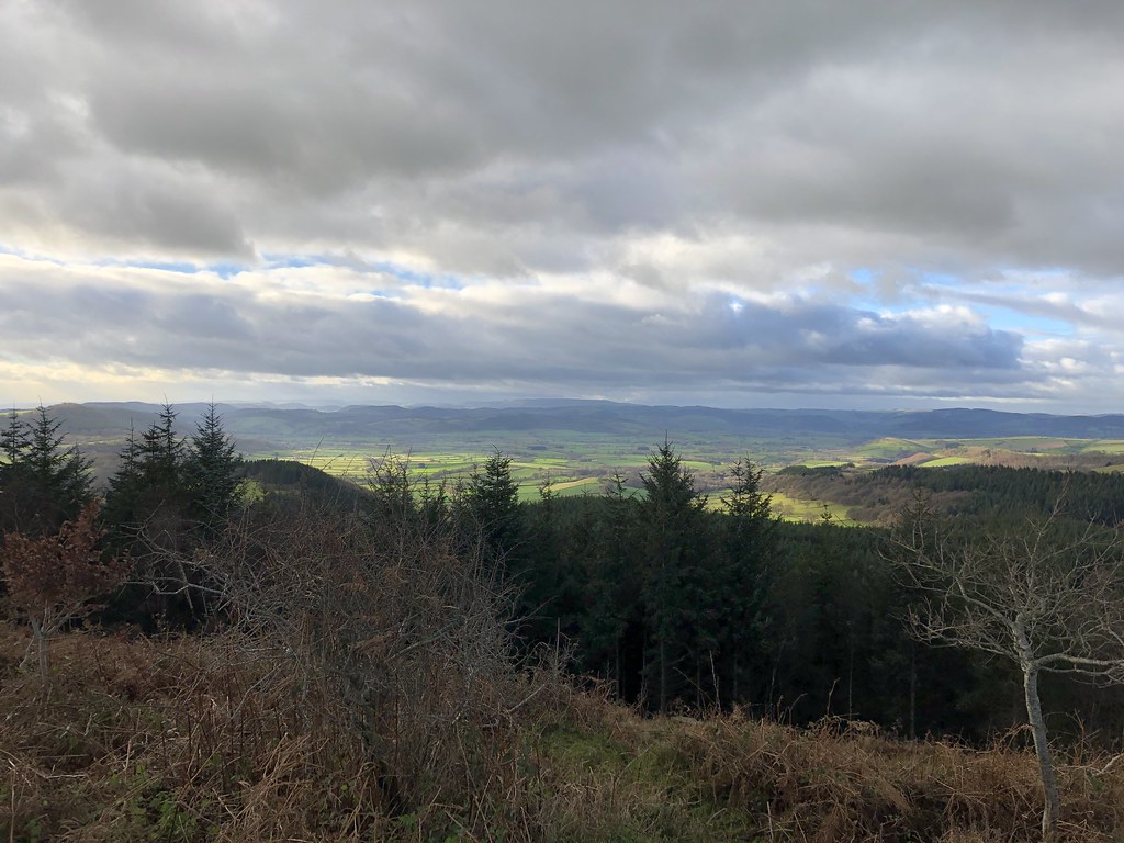
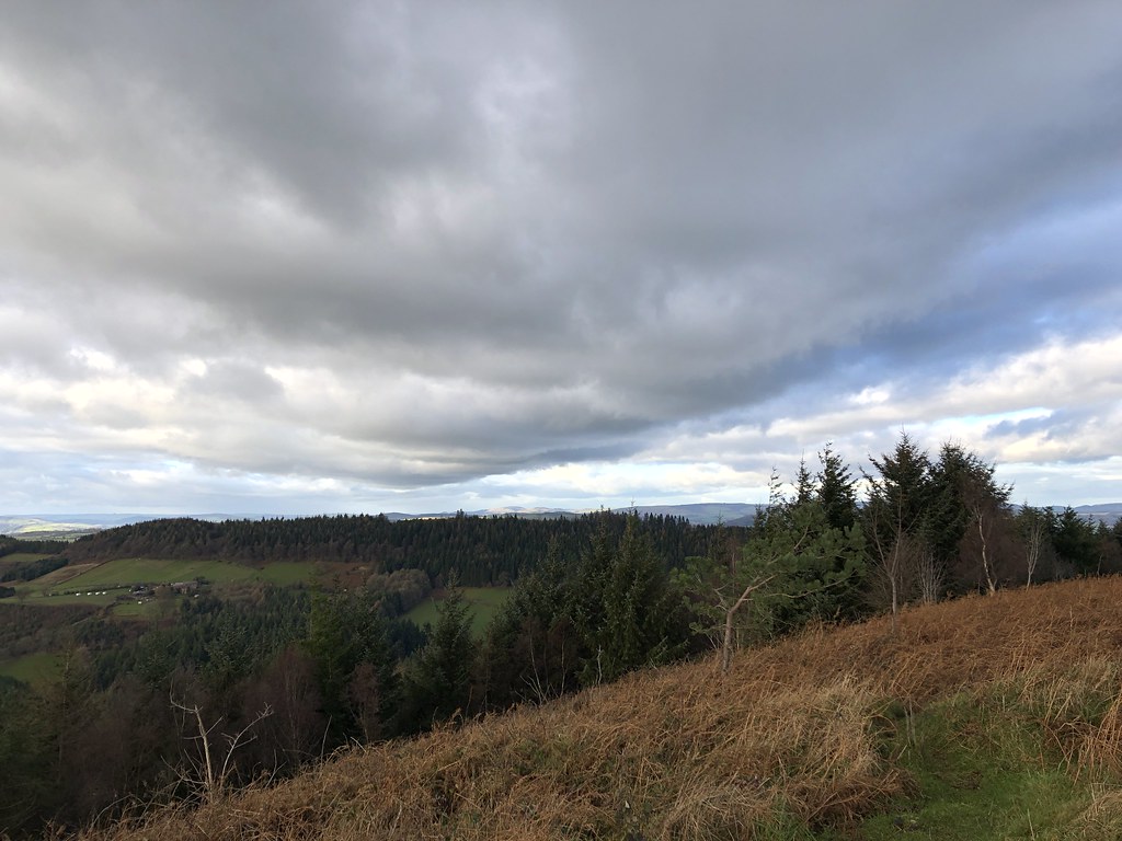
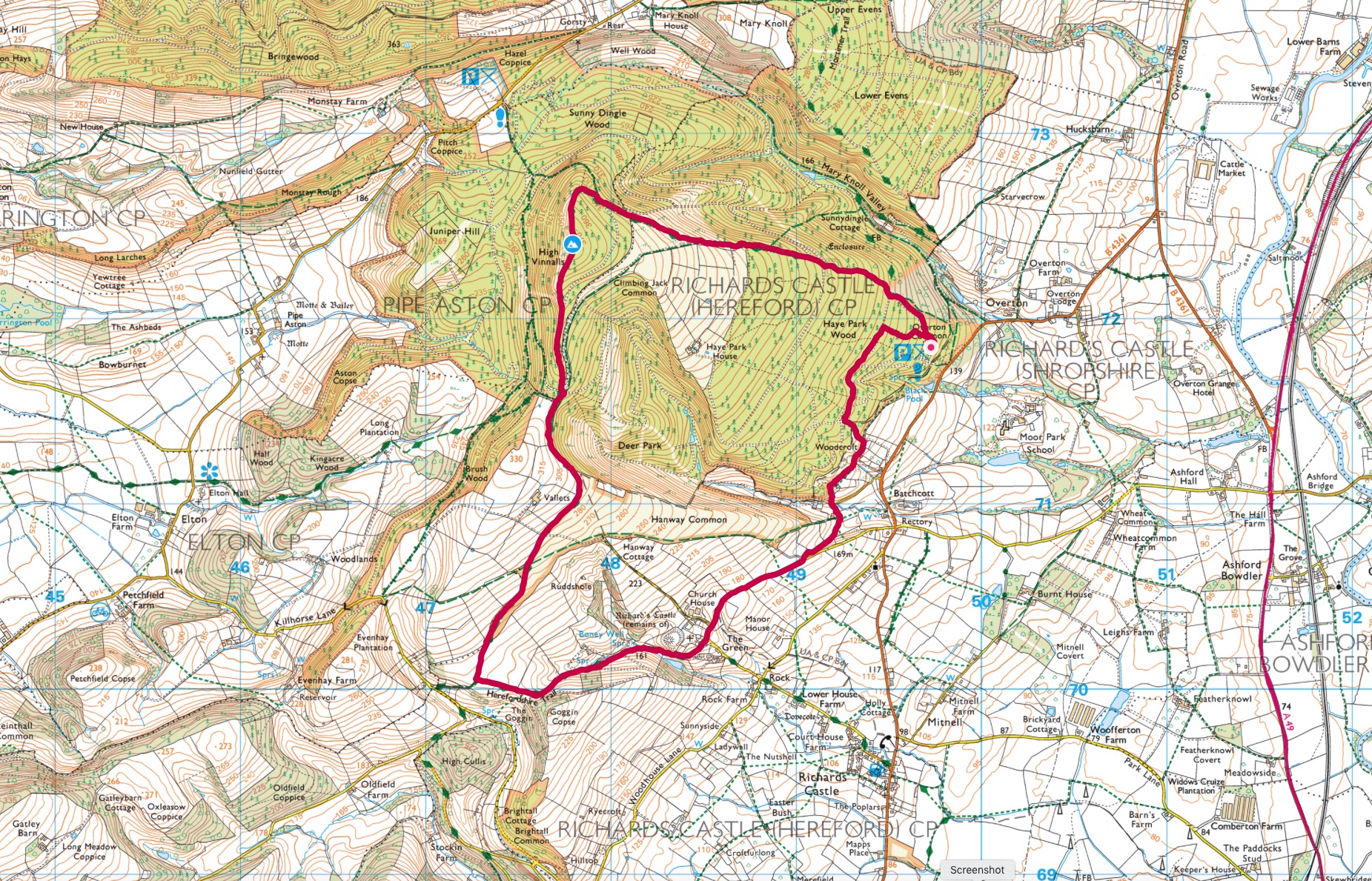
After my walk the previous day I was up late and wasn’t planning a walk but the weather looked like it might deliver some decent sunshine between the showers so I headed out on a whim. Another new summit, this time High Vinnalls from Overton Common. The woods at the Black Pool car park are crossed many numerous trails and it was a pleasant walk up through Haye Park Wood. When I emerged from the trees the sun came out and the views were sensational.
These shots were taken from the curiously named Climbing Jack Common.
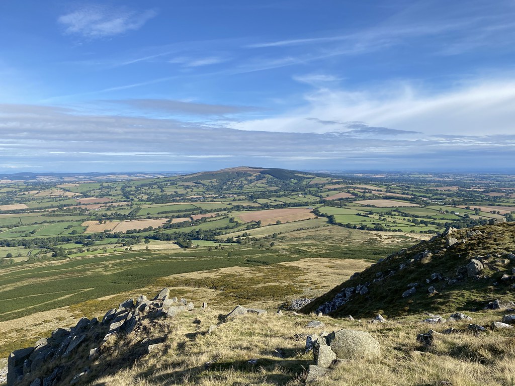
The equally curiously named Titterstone Clee Hill with its radar dome really stood out in the sun. For some reason it remained in the sun pretty much all day or at least whenever I glimpsed it.
Seen here with its less dramatic but higher neighbour of Brown Clee Hill.
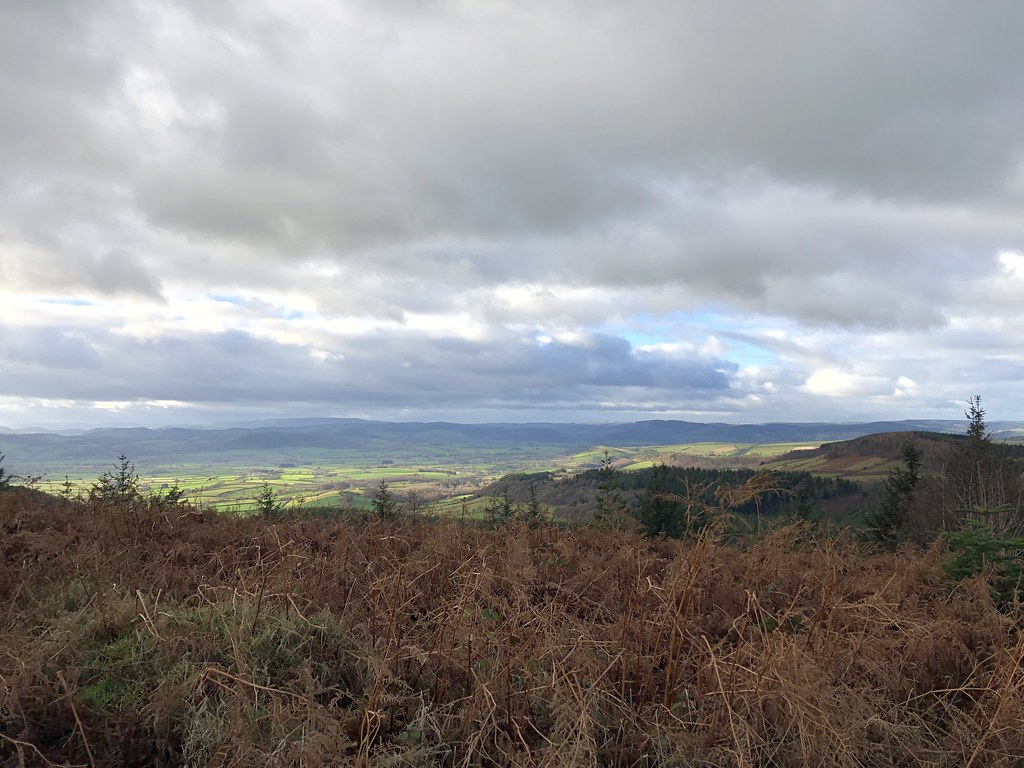
In no time at all I was on the summit of High Vinnalls and the views were superb. Sunshine looking east towards the Midlands, dark and stormy towards the mountains of central Wales.
The forest doesn’t reach the top so the views are wide and expansive. It really is an exceptionally fine summit and not one I ever knew was there even though I drive past it regularly heading north along the A49 in Shropshire.
It was also remarkably quiet, just a handful of folks out for a Sunday stroll with a variety of bouncy dogs.
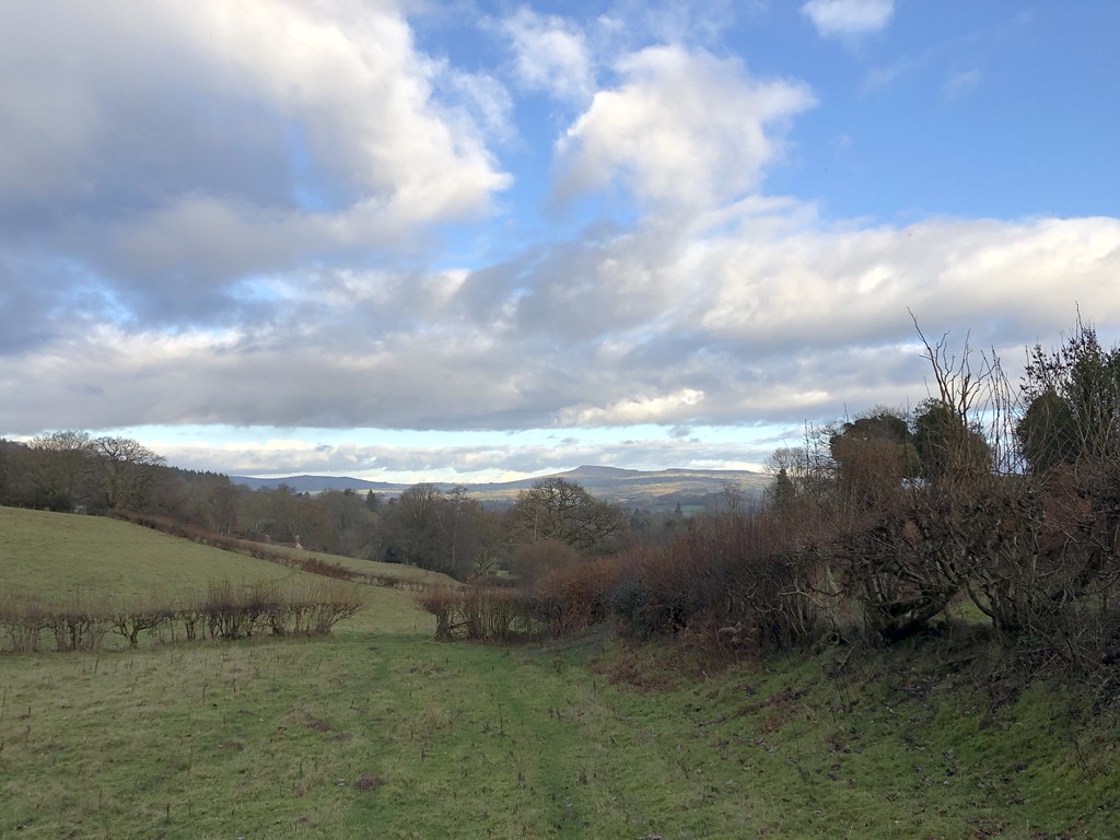
A view to South Wales and the Black Mountains. The pointy peak on the horizon just left of centre is Ysgyryd Fawr.
And across the Marches to the Malverns.
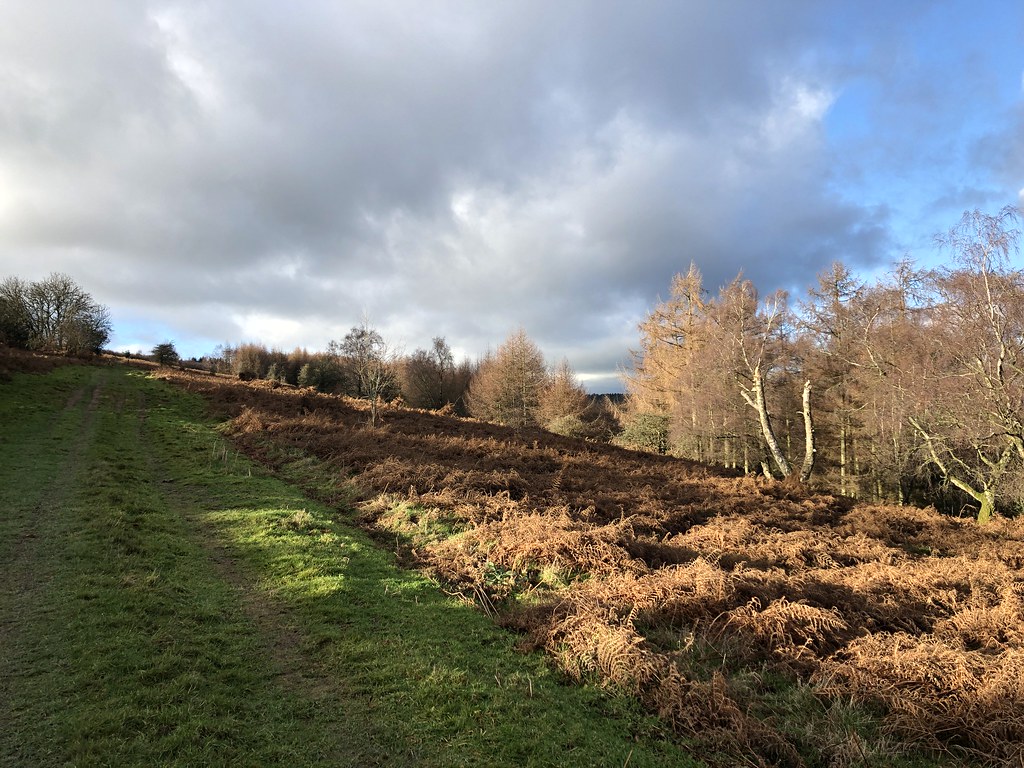
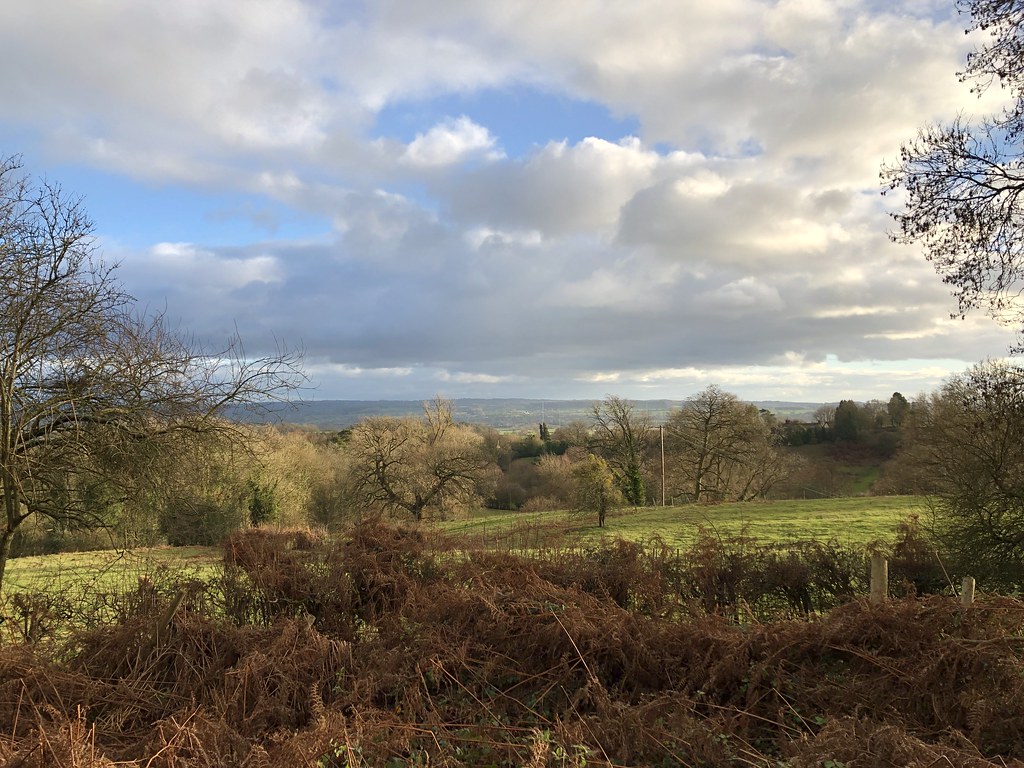
There seemed to be plenty of paths and options to make a good circular route. I chose to walk along the top of Hanway Common.
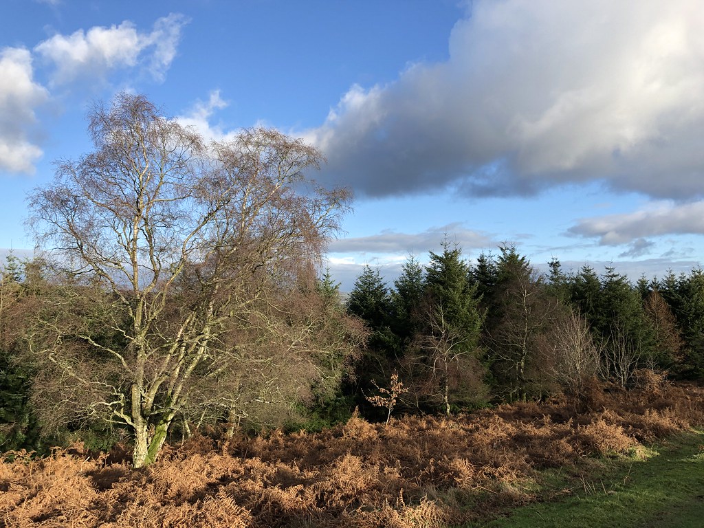
Before heading down towards the pretty village of Richards Castle. I used to get very excited as a kid to see any place name with the word “Castle” in it figuring every one would have a castle. They rarely do or at least nothing more than an old motte and bailey (historical speak for a mound and a ditch). This is all Richards Castle has sadly.
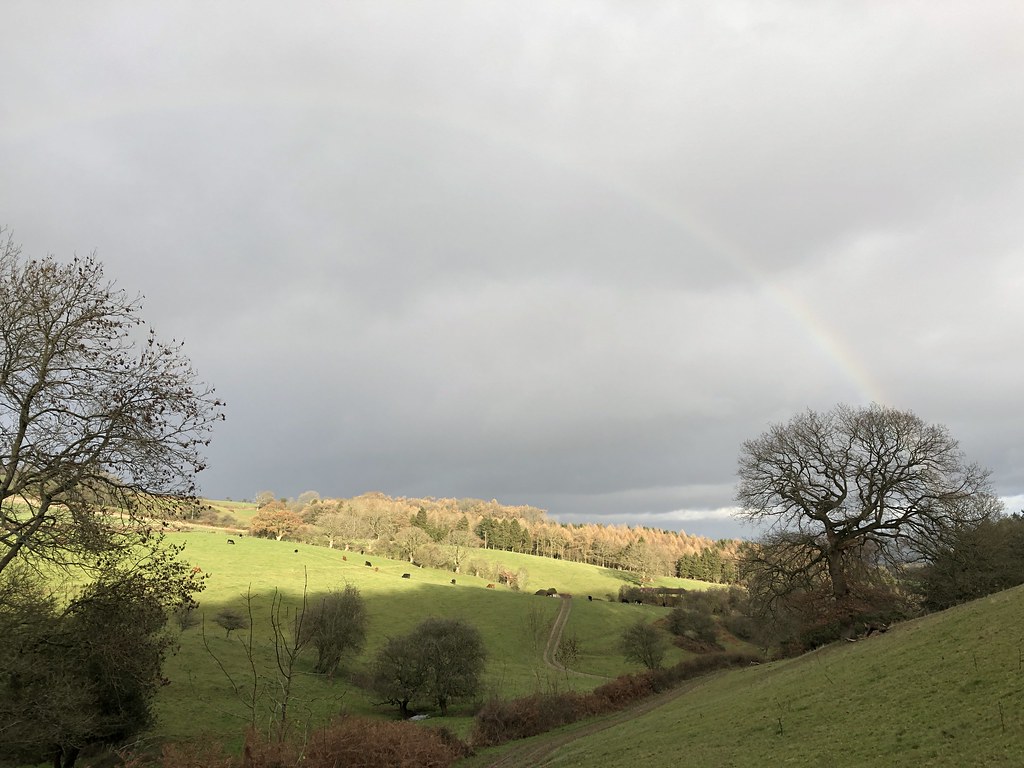
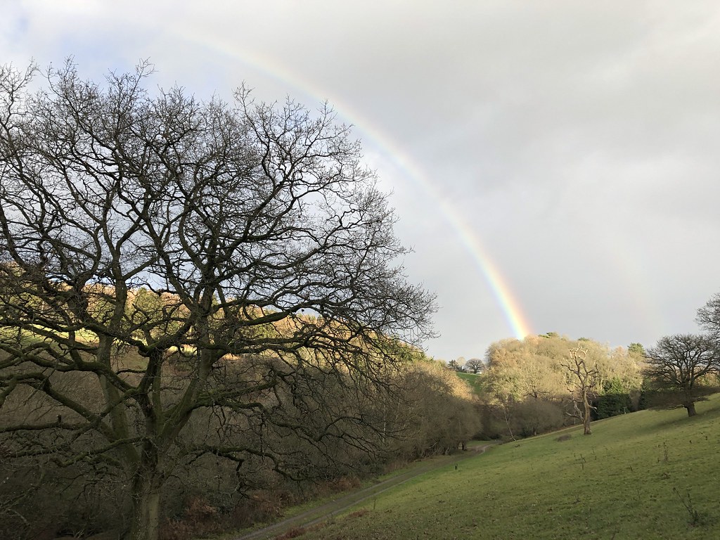
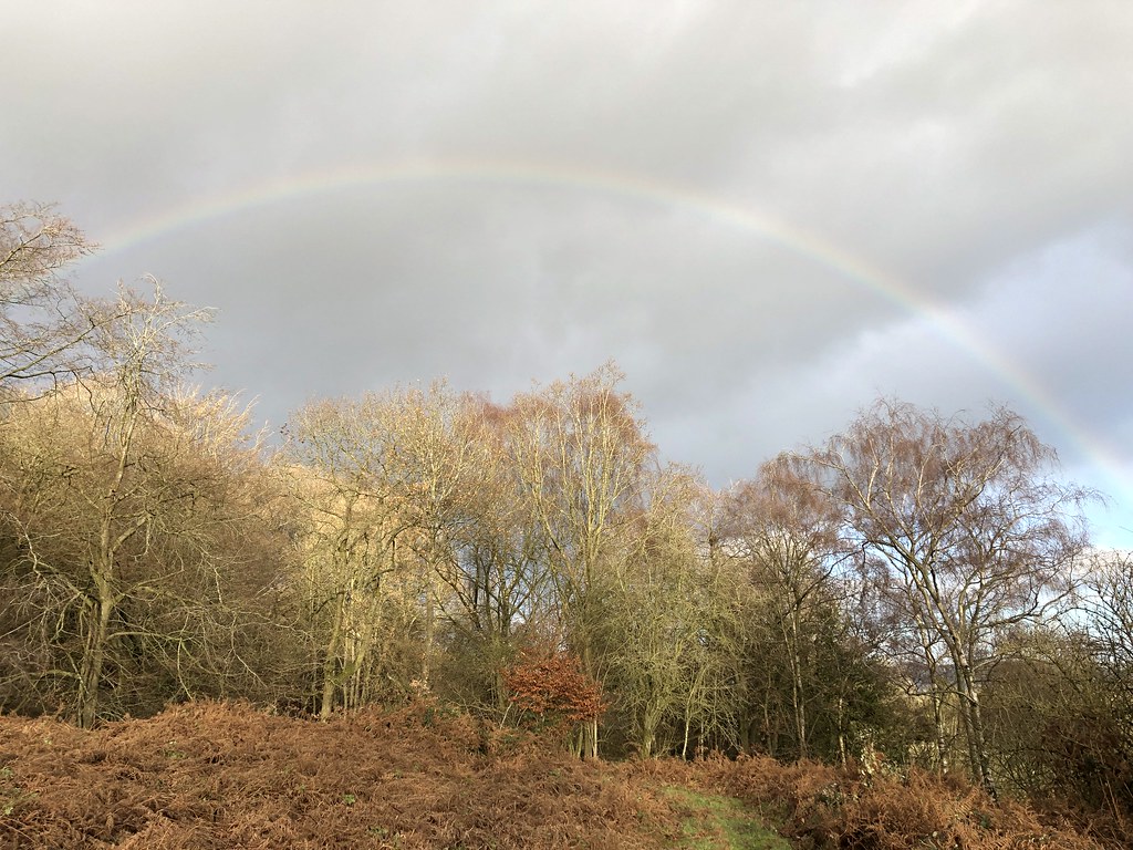
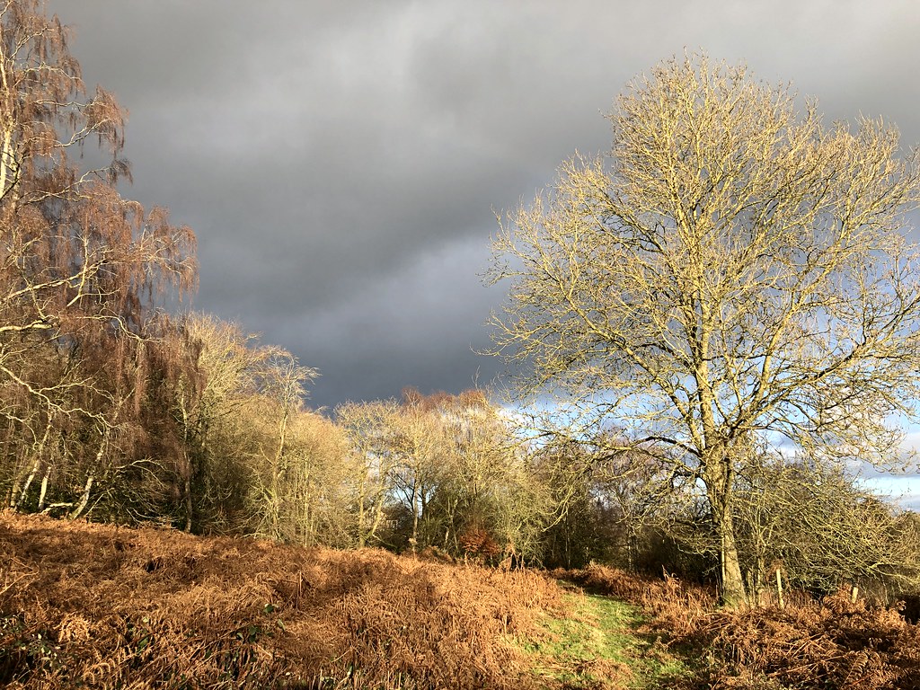
What I did get were some stunning rainbows including a double one below that I only noticed when I looked at the photos at home.
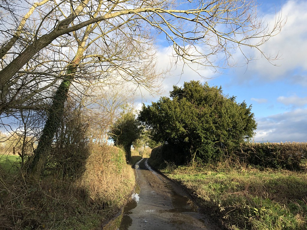
A walk along the muddy lanes was just as enjoyable in the late afternoon light.
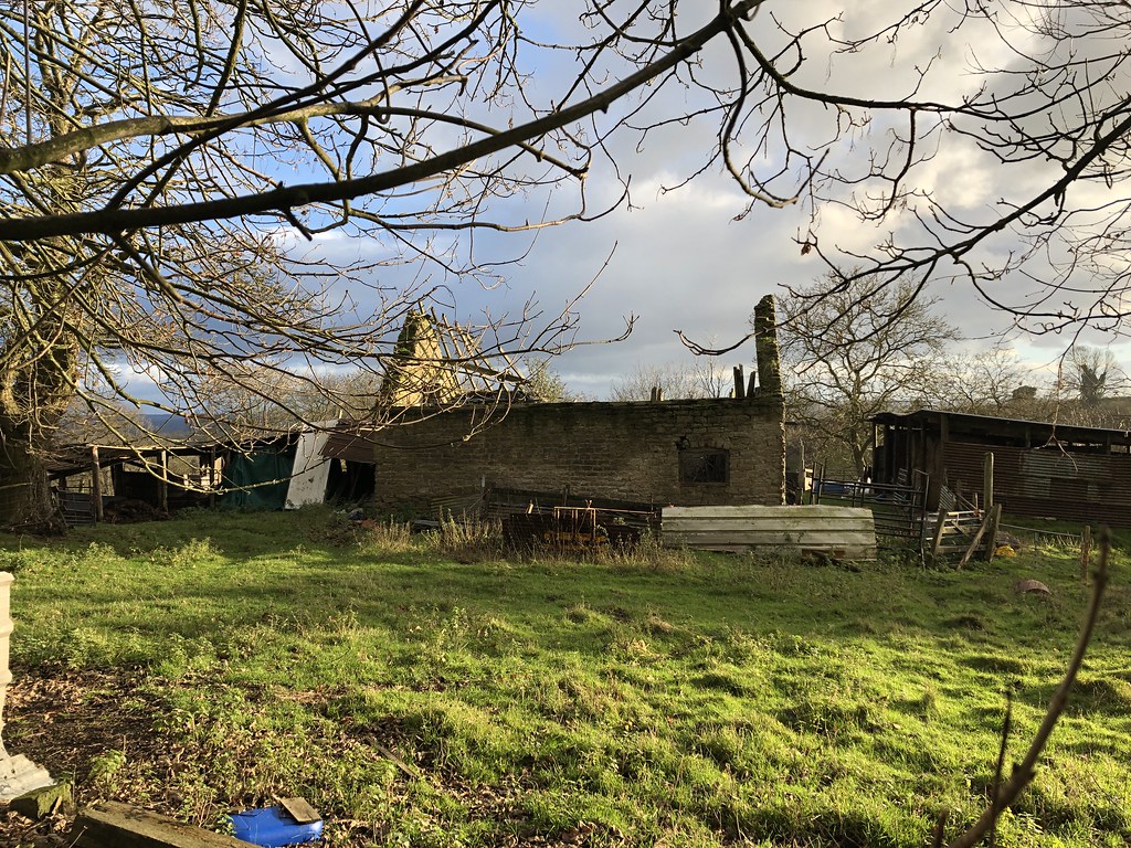
This ruined old barn catching the sun also caught my eye.
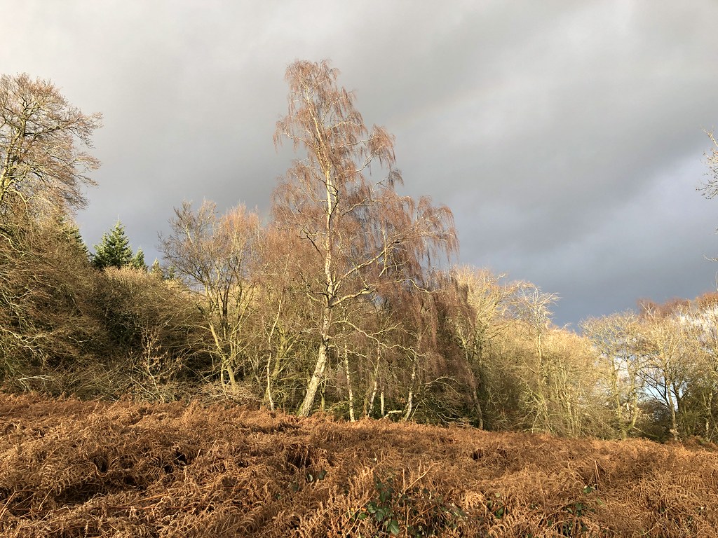
As I reached woods where the car was parked the sun came out delivering more glorious autumn colours and rainbows.
As it was a day not meant for stopping (it was cold and windy on top and very muddy lower down) I’d covered over 6 miles in just a couple of hours
Yet another new hill and yet another good one. Long may the Marilyn’s rule!
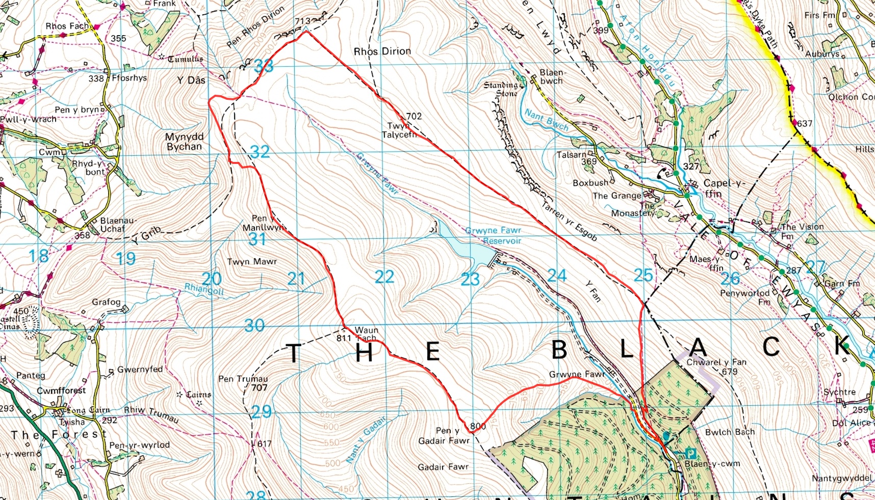
TJS had been hassling me for a “proper long walk” as we hadn’t been out together for a couple of months. We had a decent looking day so I took him on the the promised long route, a round of the Grwyne Fawr valley, taking in the highest summit in the Black Mountains, Waun Fach, the local high point.
10.5 Miles
It was perishing cold and windy when we set off but with blue skies overhead.
After a steep start through more of the dark, primeval forest that cloaks the lower slopes round these parts we emerged blinking into the bright sunlight. The summits were shrouded in clouds but there was clear sky elsewhere so I was confident it would clear later and so it proved.
Across the soggy slopes up onto the ridge at the Blacksmiths Anvil. The views across the Gwyrne Fawr reservoir and dam were especially fine.
From here the long broad ridge proceeds endlessly but easily over Twyn Talycefn to the Trig Pillar and un-named point overlooking the northern escarpment and Wye Valley. It had pretty much cleared now and it was a fine day.
TJS is into his third year at High School now and is choosing his GCSEs. We chatted long about his options and the time was flying by. It’s really enjoyable to share these big days with him, and chance to catch up and talk as I’m out most of week working so glimpses of my kids are fleeting
We needed some lunch and pressed on looking for shelter. Unfortunately this area seems to be plagued by motocross riders and the damage was extensive turning what used to be a decent path into a 30m wide mess of ruts and mud. Quite why they have to come up here when there must be endless muddy farmers fields they can churn up I don’t know. They can have no idea of the damage a single bike can cause in seconds let alone in greater numbers. If the pattern continues many sections of these great hills will become irreparably damaged and impassable.
We wandered off piste and found a sheltered little spot on the western side overlooking Mynydd Troed where we’d walked last new year. The sun was already low in the sky with the short days so there was no time to linger. Low sunlight however means stunning views, highlighting the autumn browns to great effect
Onto the broad summit of Waun Fach, the summit of the Black Mountains. Not as boggy as I remember it but a wild a lonely place nonetheless. TJS was pleased to reach the high point of his local hills.
Over more soggy ground to Pen y Gadair Fawr. It’s more prominent than Waun Fach with a distinctive flat top and always looks higher from wherever you see it. I’ll have to take the word of the OS that it’s 1m lower 🙂
The way was enlivened by another motocross rider, spraying mud lavishly as he went, appalling and heartbreaking in equal measure.
The sun really was setting fast and the light streaming through the clouds was grand.
We’d done all the hard work though and it was a simple matter of plunging down the slopes to the road to get the car.
TJS got his wish – a 10.5 mile walk possibly the longest he’s done. He keeps pace with me know so it’s only a matter of time before he’s waiting for me to catch up 🙂
I spend alot of my time surfing the web looking for ideas on places to go, walking routes, travel ideas and tips to plan the perfect holiday or day out. (I'm a project manager I like to plan). I thought it was time to share my own experiences and contribute to the vast amounts in information that's already out there.
I'll also add in some gear and tech reviews and when something irks me I may even use this forum to have a rant - I do that pretty well I'm told.There are a few pages at the top that give a bit of background to what I like to get up to and what you can expect to see in my posts. I'm not exactly a creative writer but I hope some people will find my stuff useful or inpsiring or at least enjoy some of my photos.