Blairgowrie is the first in a series of long, sandy beaches and wide sand flats that swing in a 24 km long, north-facing arc from The Sisters to Martha Point. Most of the beaches are backed by a foreshore reserve, the Nepean Highway, and Marine Drive, providing excellent public access and facilities.
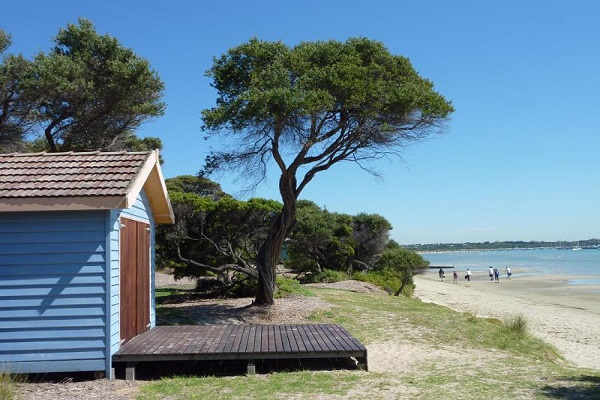
Blairgowrie Beach is 5 km long and backed by a continuous foreshore reserve and the highway, all the way to the low White Cliffs that form the eastern boundary. The reserve contains all visitor facilities including a narrow, 200 m long jetty, boat ramps, and a camping area. This section of the beach faces northeast and is usually calm, except during northerly winds when low wind waves are generated.
The beach is usually narrow and fronted by 200 to 300 m wide, shallow sand flats. The flats have up to twelve very low amplitude, shore parallel ridges or ‘bars’, each ridge just a few centimeters high. Numerous wooden groynes cross the high tide beach, while scores of boats are moored in deeper water off the sand flats.
Please Note – SLSA provides this information as a guide only. Surf conditions are variable and therefore this information should not be relied upon as a substitute for observation of local conditions and an understanding of your abilities in the surf. SLSA reminds you to always swim between the red and yellow flags and never swim at unpatrolled beaches. SLSA takes all care and responsibility for any translation but it cannot guarantee that all translations will be accurate.
Home » Visitor Guide » Beaches & Parks » Blairgowrie Foreshore