About
Education
Discuss
TraitBank
Sign In
Sign Up
Language
Deutsch
English
Español
français
Nederlands
Piemontèis
Português do Brasil
suomi
Türkçe
Ελληνικά
македонски
Українська
العربية
简体中文
繁體中文
names in breadcrumbs
vernacular
scientific
About
Education
Discuss
TraitBank
Sign In
Sign Up
en
Deutsch
English
Español
français
Nederlands
Piemontèis
Português do Brasil
suomi
Türkçe
Ελληνικά
македонски
Українська
العربية
简体中文
繁體中文
names in breadcrumbs
vernacular
scientific
Creatures
»
…
»
Plants
»
…
»
Dicotyledons
»
…
»
Beech Family
»
…
Creatures
»
Cellular Organisms
»
Eukaryotes
»
Plants
»
Green Plants
»
Streptophyta
»
Embryophytes
»
Ferns
»
Seed Plants
»
Dicotyledons
»
Eudicots
»
Superrosids
»
Rosids
»
Fagales
»
Beech Family
»
Oak
«
Quercus laurina Bonpl.
collect
overview
data
media
articles
maps
names
license
any license
CC-BY-NC
CC-BY-SA
Wikimedia Commons
any provider
iNaturalist
Wikimedia Commons
cc-by-sa-3.0
trusted
cc-by-sa-3.0
trusted
cc-by-sa-3.0
trusted
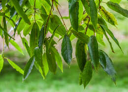
Quercus laurina in Hackfalls Arboretum (2)
cc-by-sa-3.0
Krzysztof Golik
Wikimedia Commons
Description: English: Quercus laurina in
Hackfalls Arboretum
, Gisborne Region, New Zealand. Date: 26 November 2017, 05:44:19. Source: Own work. Author:
Krzysztof Golik
. Camera location
38° 46′ 16.49″ S, 177° 32′ 24.6″ E
View all coordinates using:
OpenStreetMap
-38.771247; 177.540167.
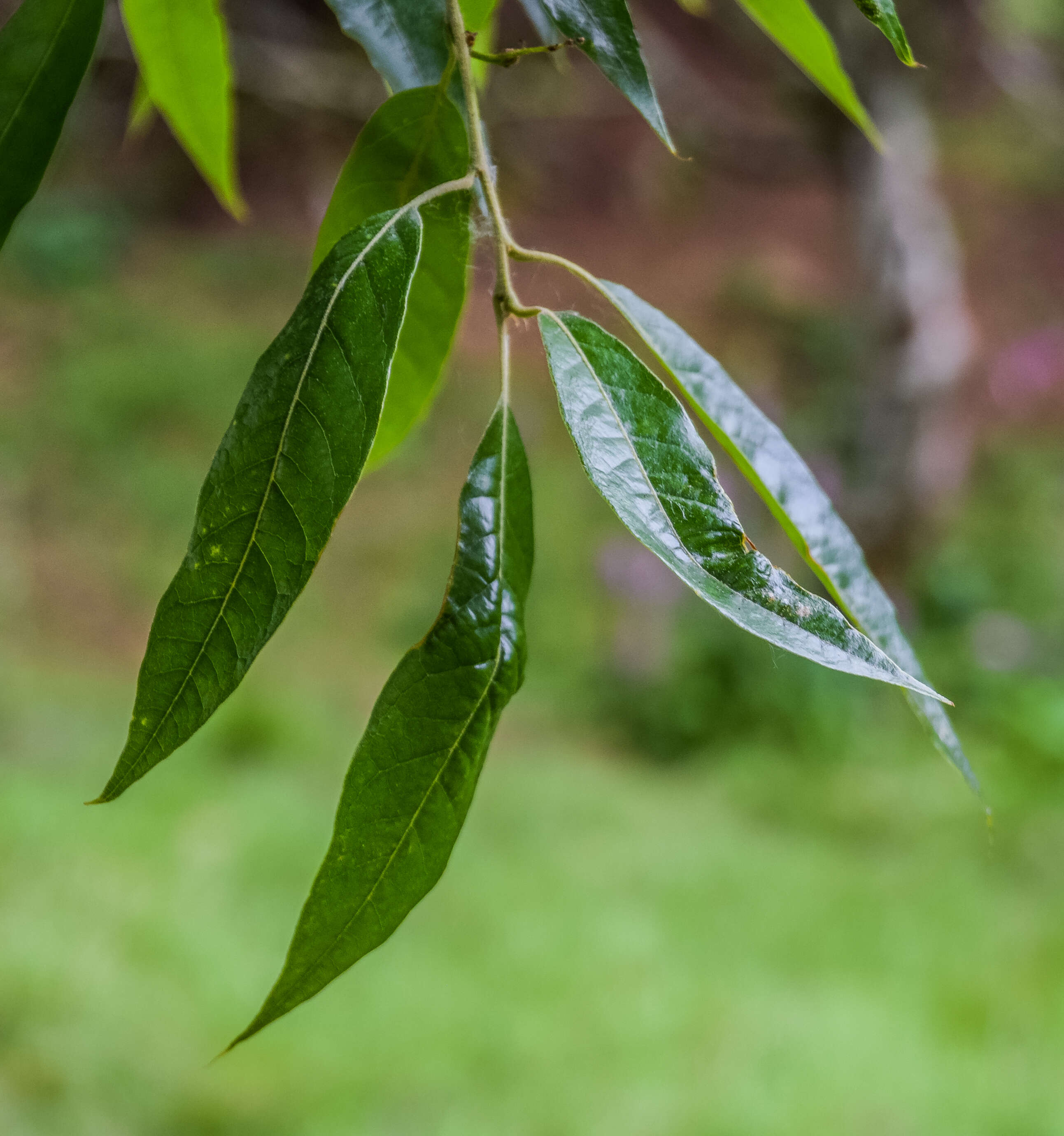
Quercus laurina in Hackfalls Arboretum (3)
cc-by-sa-3.0
Krzysztof Golik
Wikimedia Commons
Description: English: Quercus laurina in
Hackfalls Arboretum
, Gisborne Region, New Zealand. Date: 26 November 2017, 05:44:27. Source: Own work. Author:
Krzysztof Golik
. Camera location
38° 46′ 16.49″ S, 177° 32′ 24.6″ E
View all coordinates using:
OpenStreetMap
-38.771247; 177.540167.
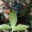
Quercus laurina in Hackfalls Arboretum (1)
cc-by-sa-3.0
Krzysztof Golik
Wikimedia Commons
Description: English: Quercus laurina in
Hackfalls Arboretum
, Gisborne Region, New Zealand. Date: 26 November 2017, 05:44:14. Source: Own work. Author:
Krzysztof Golik
. Camera location
38° 46′ 16.49″ S, 177° 32′ 24.6″ E
View all coordinates using:
OpenStreetMap
-38.771247; 177.540167.