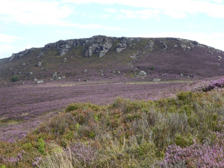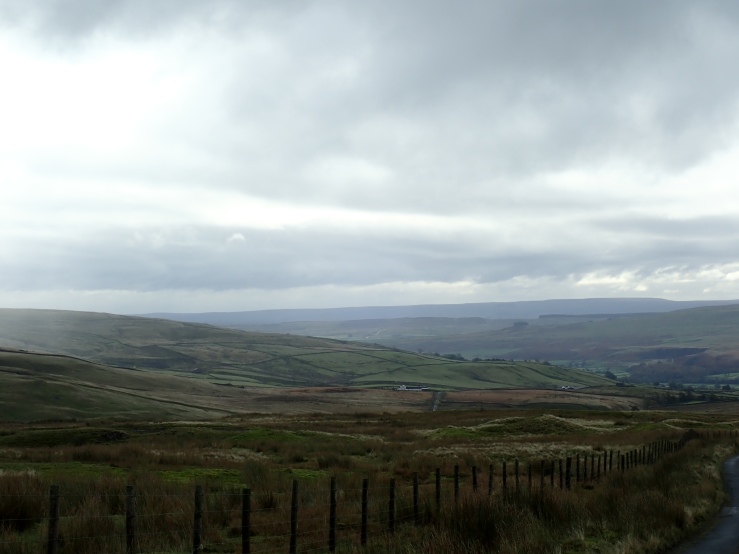
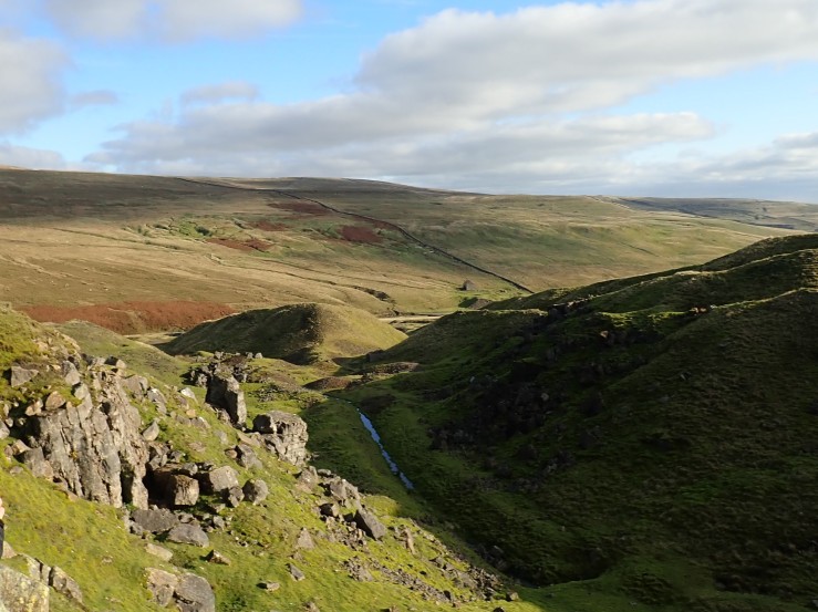
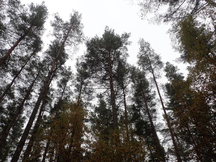
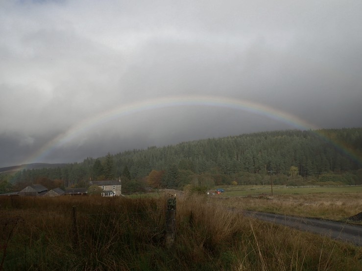
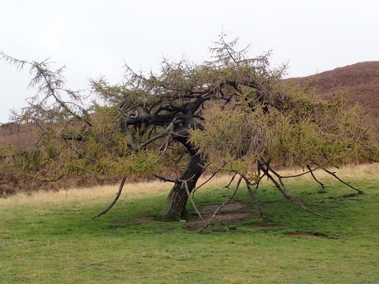
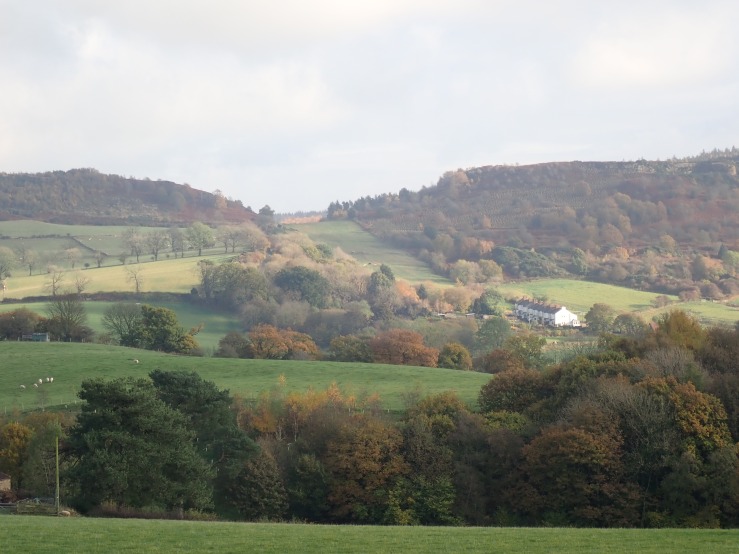
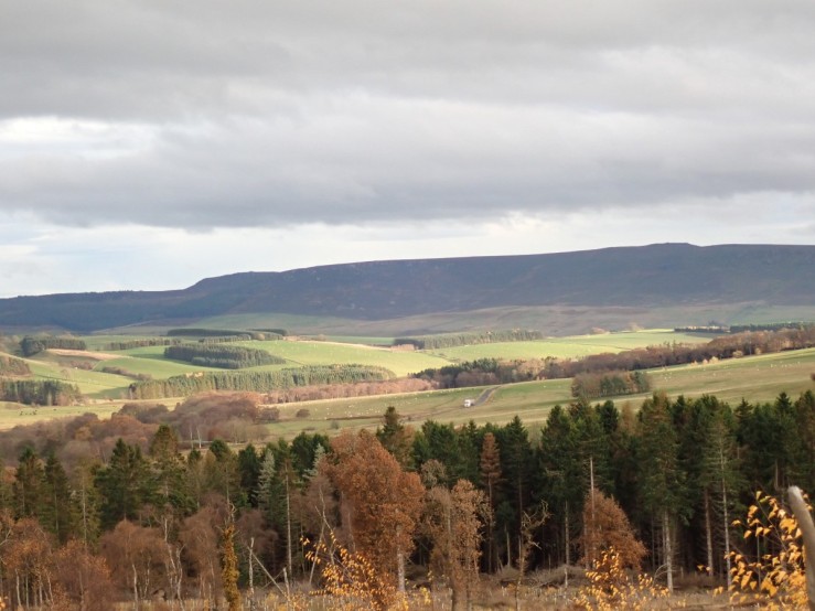
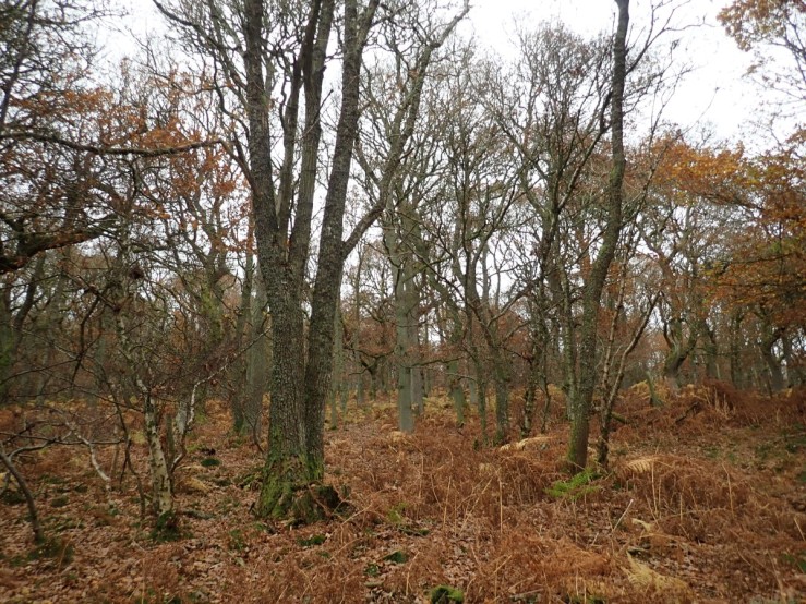
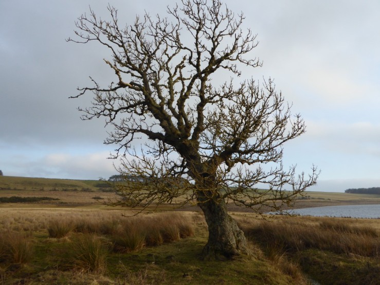
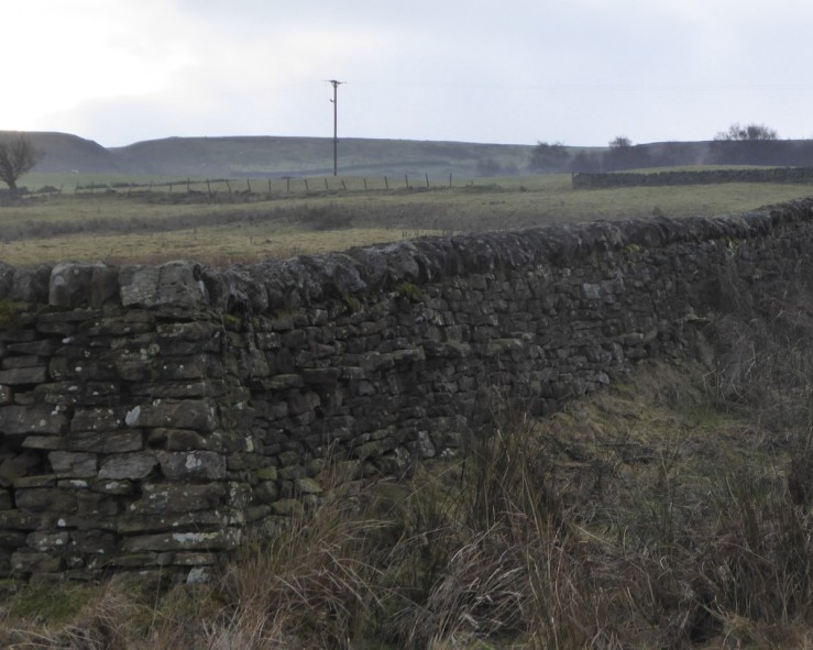
At 530 m elevation in the North Pennines, Pike Law is an upland moorland well known for centuries of lead mining. The photo shows a rushy moorland now used for sheep grazing and grouse shooting, with Cross fell, at 893 m visible on the skyline.
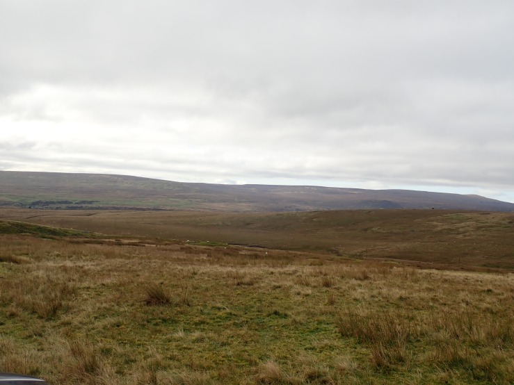
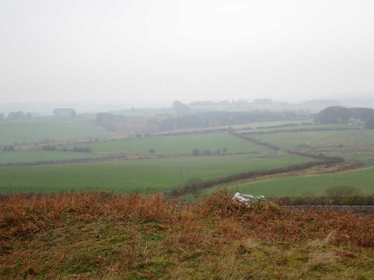
Although the bedrock is of Carboniferous age, it is covered in more recent glacial deposits, such as the drumlins in the picture below. Composed of till, or boulder clay, they form large rolling ovoid features in the landscape.
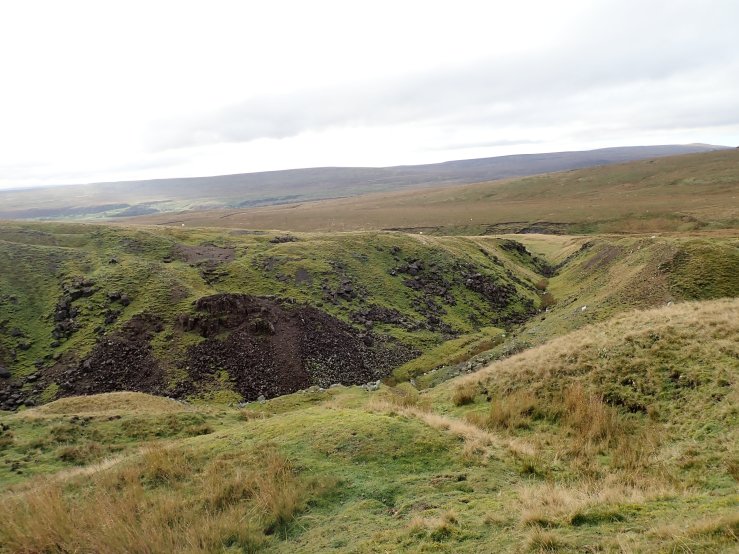
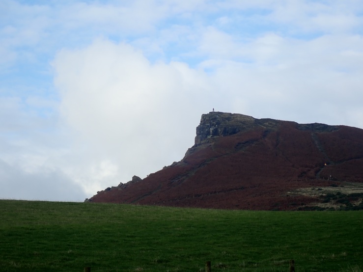
We explored the West End and flask hushes in an area widely scarred by these huge extractive fissures. The West End hush shown below is 300m from East to West and 170m from North to South. This hush has a SSSI status for its fine exposure of mineralized Great Limestone in which many features both of the original limestone, and its subsequent alteration are clearly displayed. The supergene mineralisation (processes or enrichment that occur relatively near the surface) can be seen here, both in the exposed rock face and the abundant debris at its foot.
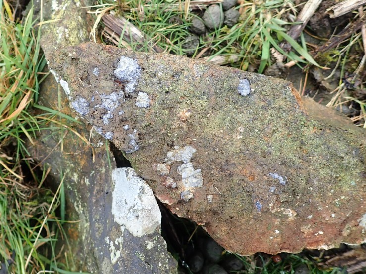
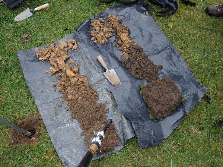
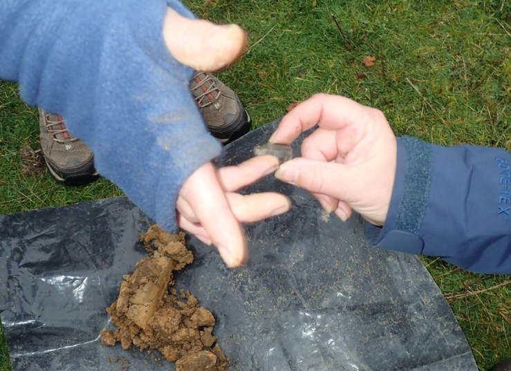
The dark grey crystalline mineral shown below is Galena. It the natural mineral form of lead(II) sulfide (PbS), the most important ore of lead.
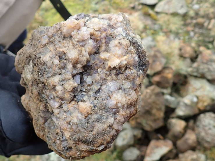
Fluorite, calcium fluoride, CaF2 was also mined here but regarded as a waste product. It is found in numerous spoil heaps, occurring as purple or yellow crystals.
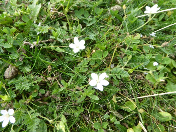
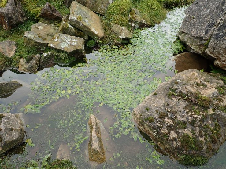
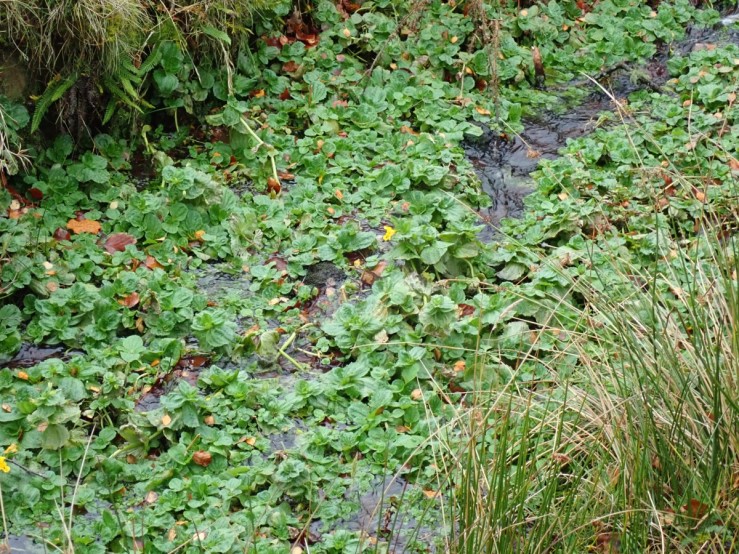
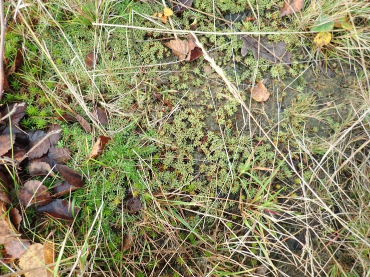
Potamogeton polygonifolius or bog pondweed, is an aquatic plant. It is found in shallow, nutrient-poor, usually acid standing or running water, bogs, fens and occasionally ditches. It seems to be thriving in the wet hush bottom.
The Flask Hushes have limestone outcrops forming their walls. The west end of these hushes show some structure with the top of the limestone visibly dipping at 30 degrees to the SW, weathering to a brown colour, with open joints, probably associated with the fault/ vein running along the hush,
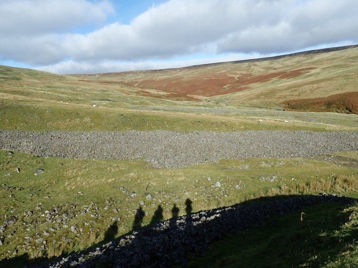
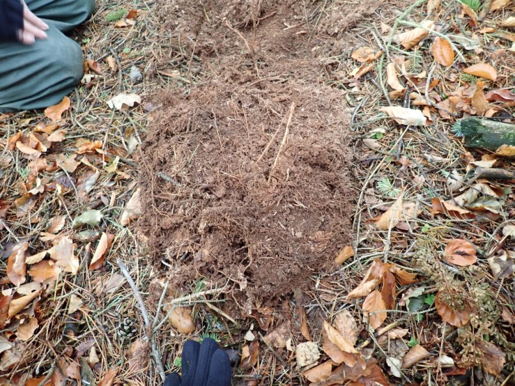
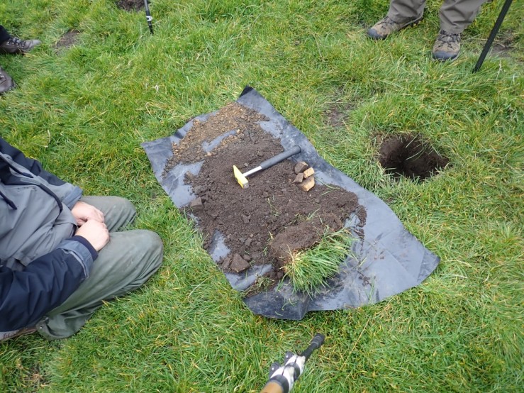
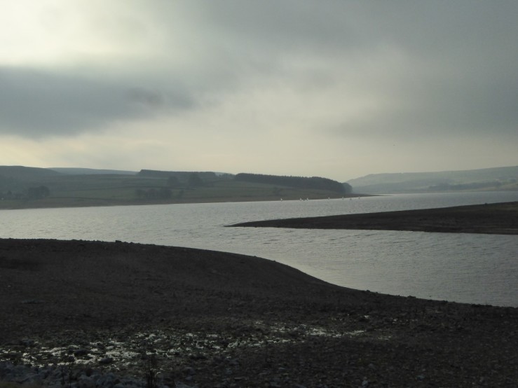
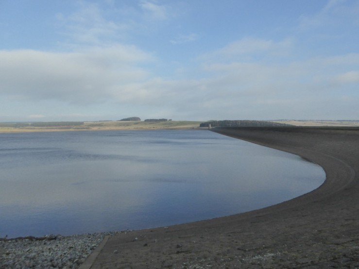
Leat dams and reservoirs are a feature at the head of the hushes. Probably the dams were formed from boulder clay and the reservoir water used to flush minerals out of the veins and spoil downstream.
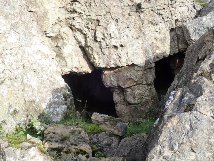
The area has been extensively worked by shaft and Adit over the centuries. In the bottom of the east end of the hush there are traces of an Adit with large boulders tumbled over its entrance.
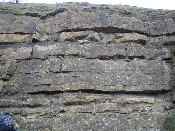
The Great Limestone forms the Southern wall of the hush, looking from the North, it appears dip gently to the West. It is being overlain by flaggy sandstones and mudstones.
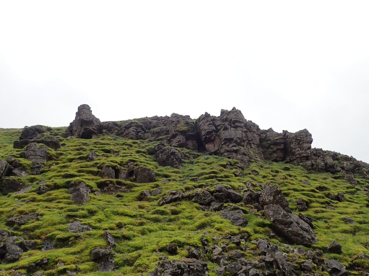
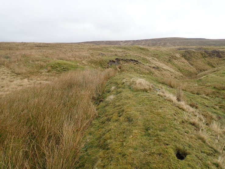
One of the mysterious features of the area are these boulder lines found at the head of outwash fans. Composed of limestone and sandstone rocks, they line one side of the ditch in long swathes. There origin is obscure but seem to have been deposited by mining and outwash processes.
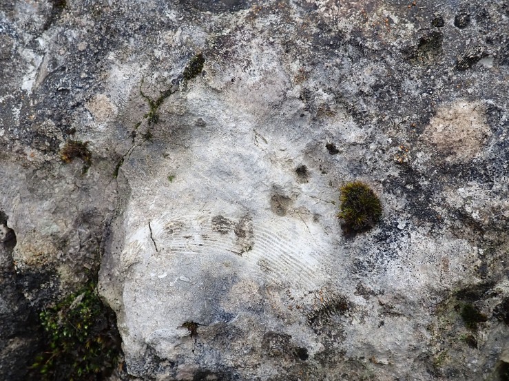
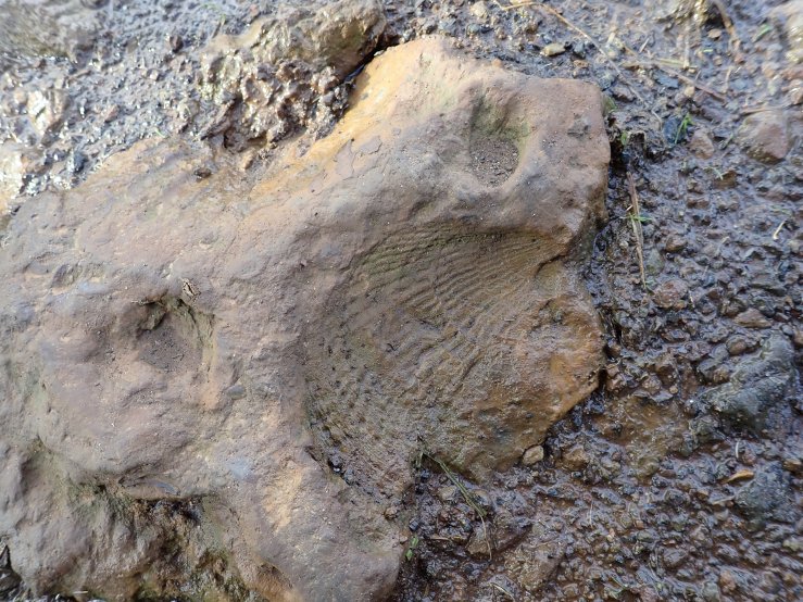
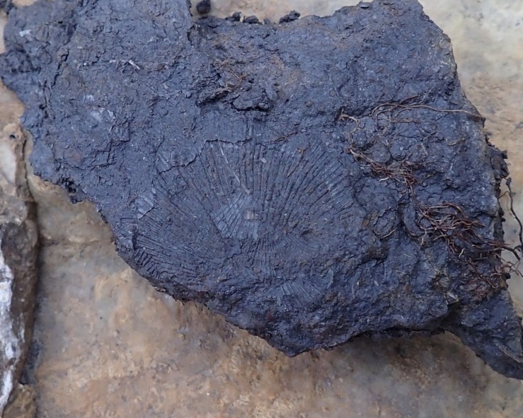
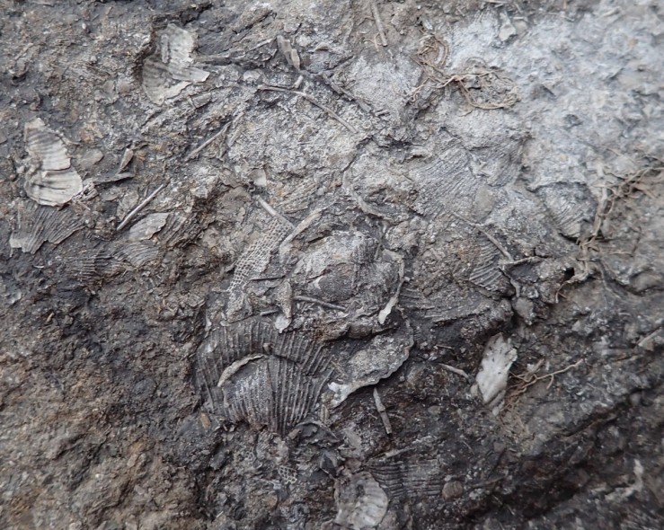
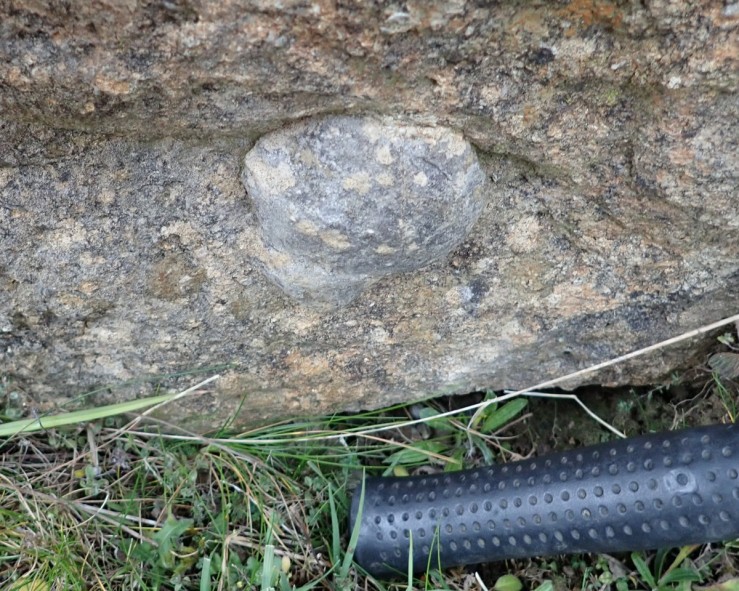
The Great Limestone is noted for its fossils. Dibunophyllum bipartitum is shown in both photographs below. It is a solitary rugose coral of the Carboniferous. The picture below gives a cross-sectional view with the septa visible.
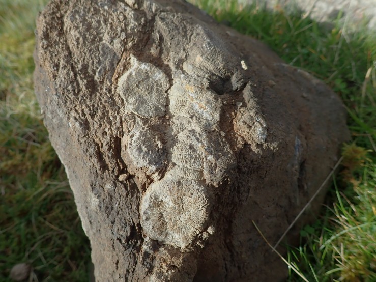
A longitudinal view reveals coral to be about 10cm long.
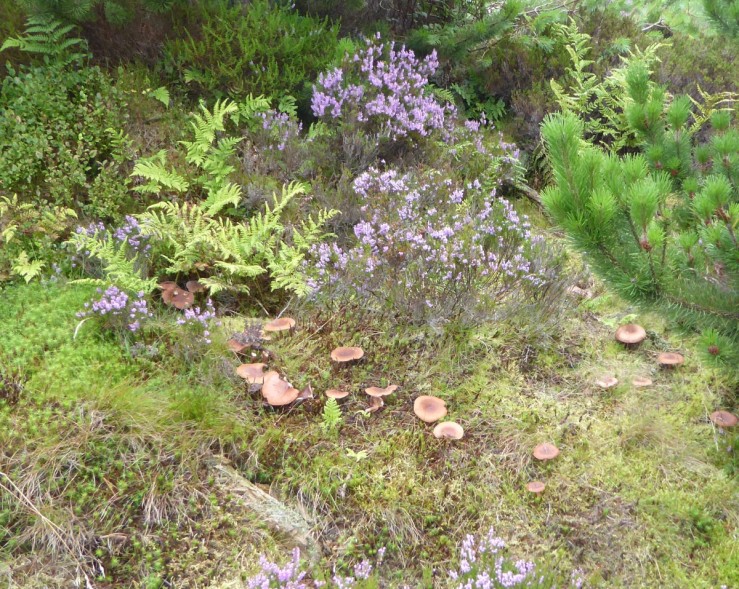
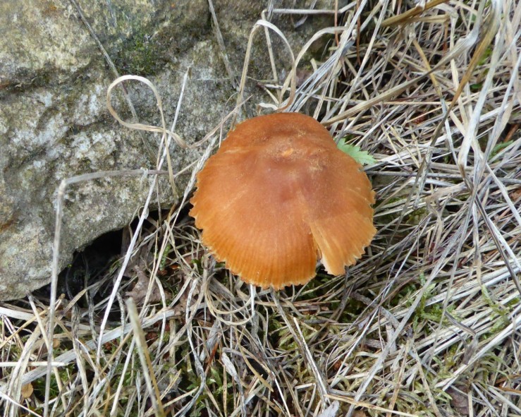
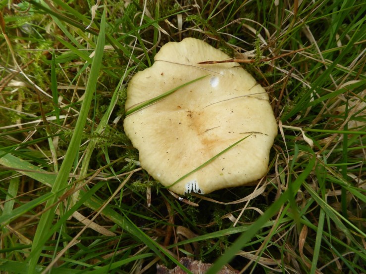
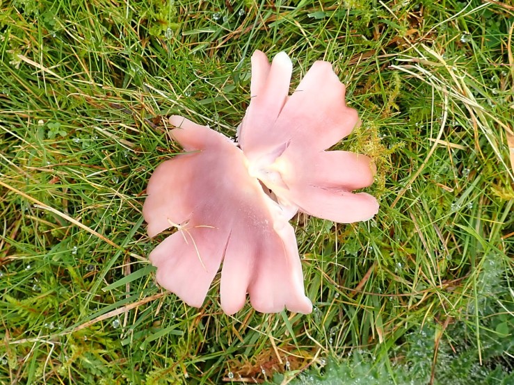
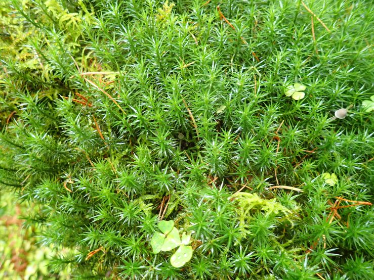
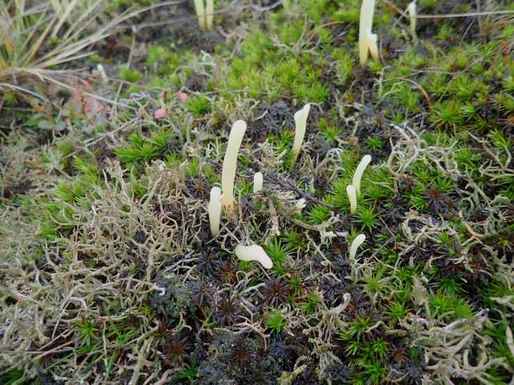
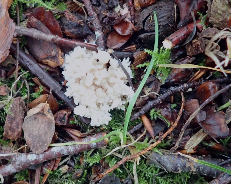
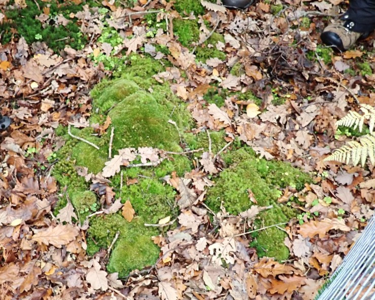
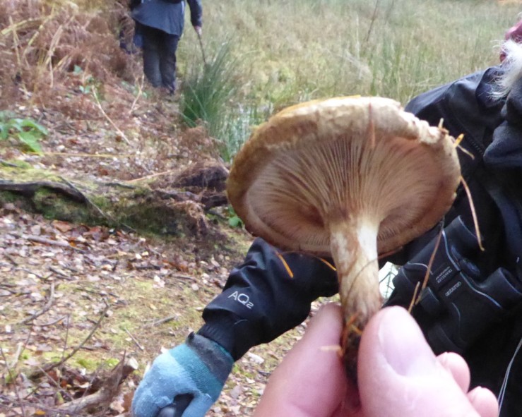
Waxcaps are a sign of old cropped unimproved grassland. A Ballerina waxcap (Porpolomopsis calyptriformis) showing its skirts off. They are thought to have a mutualistic relationship with mosses.
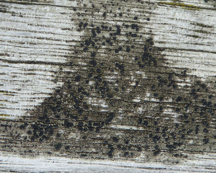
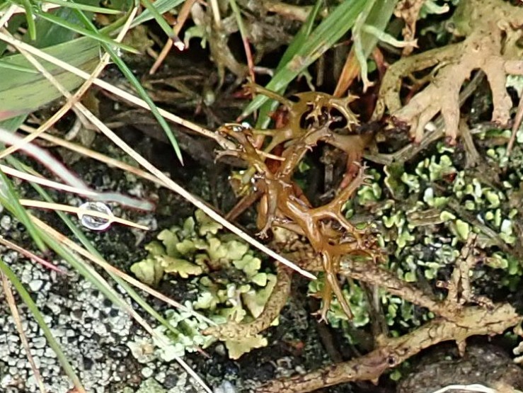
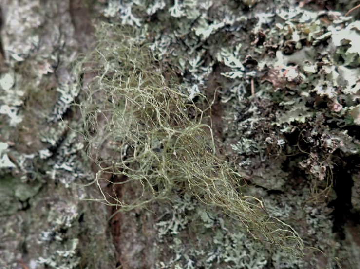
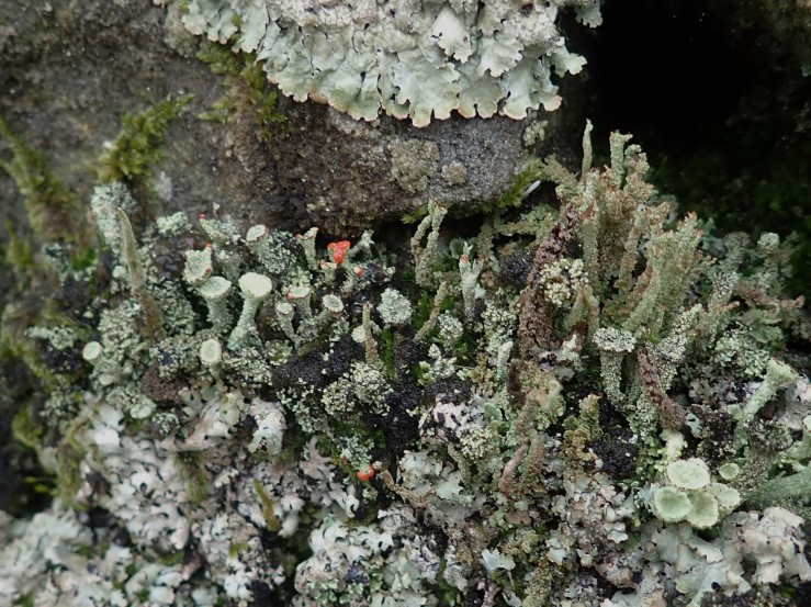
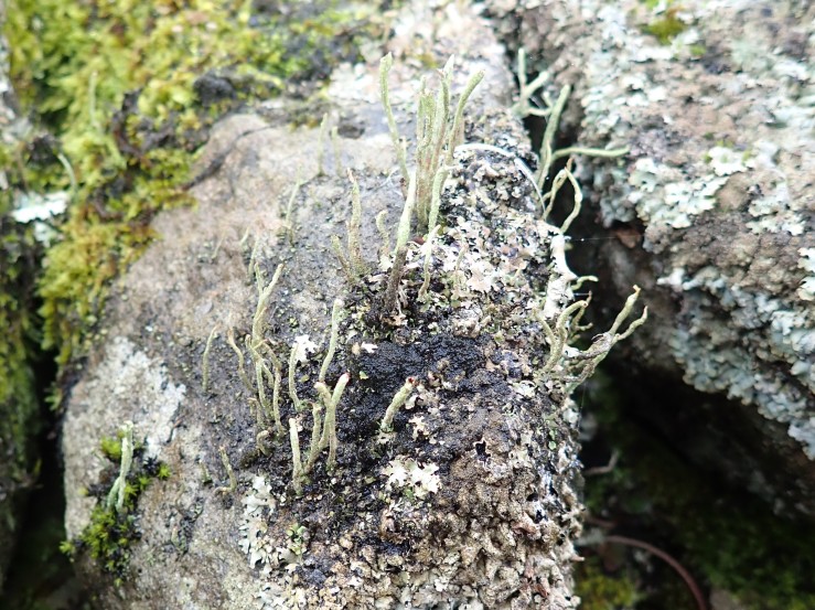
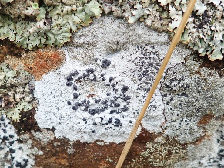
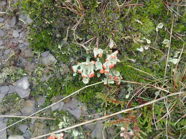
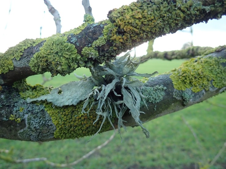
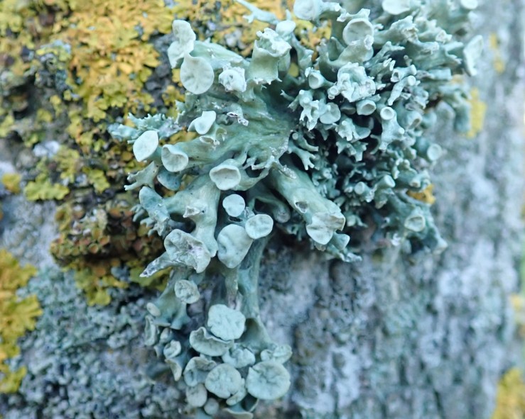
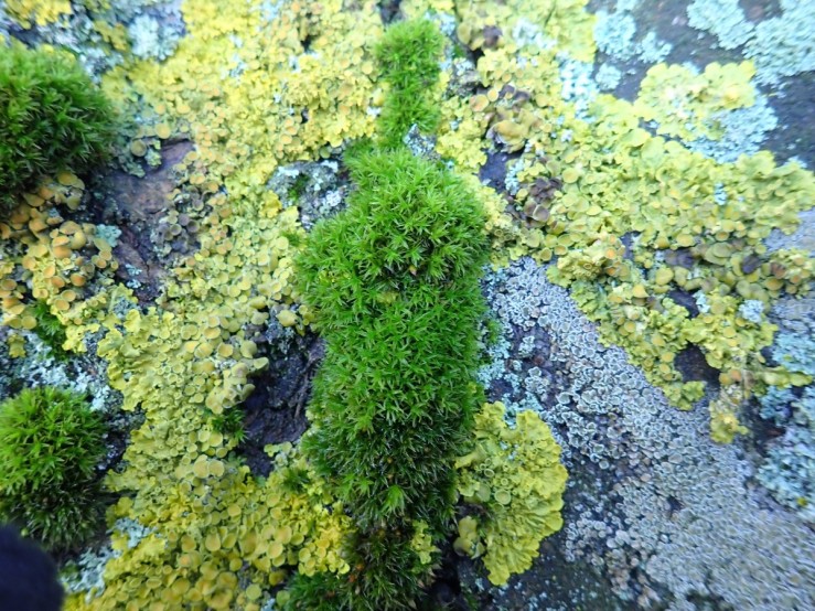
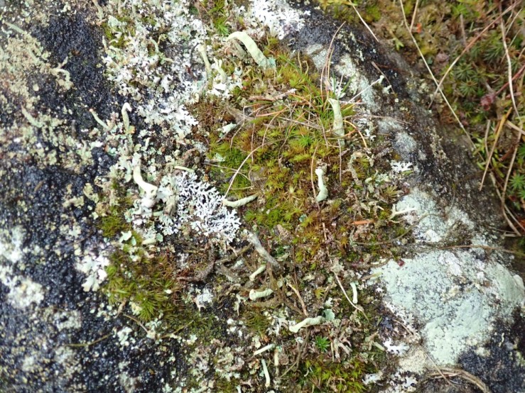
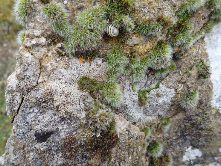
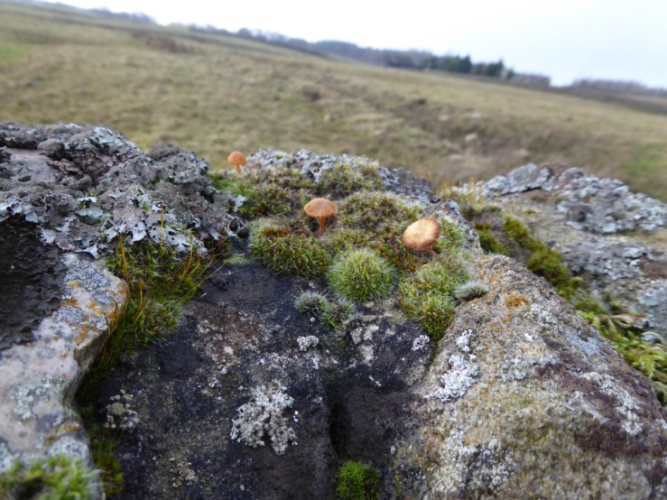
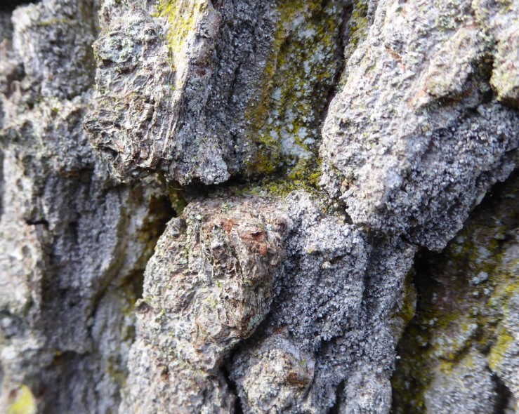
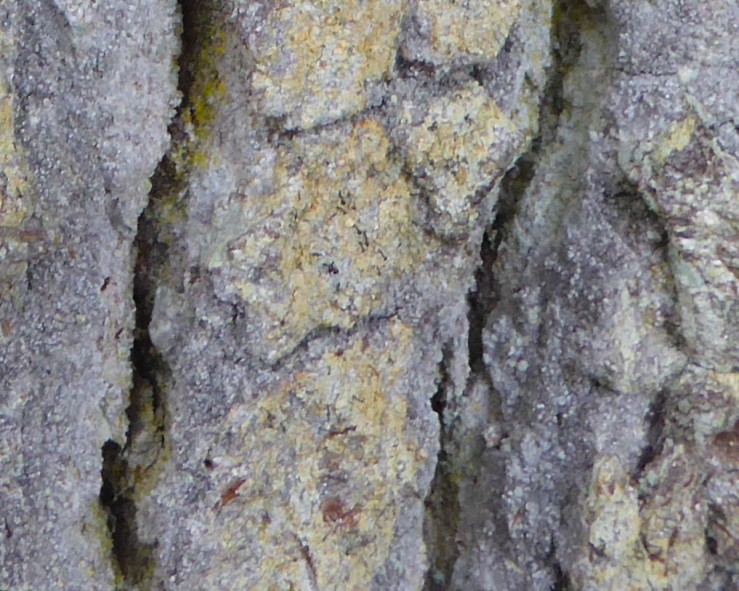
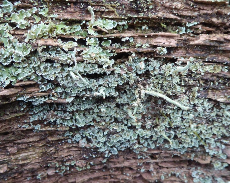
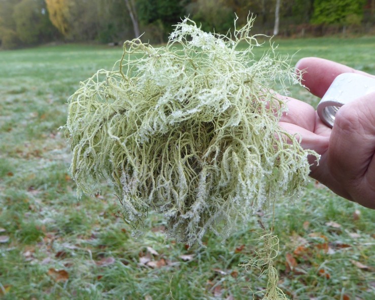
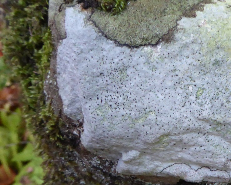
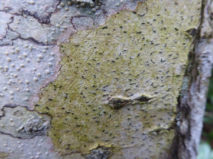
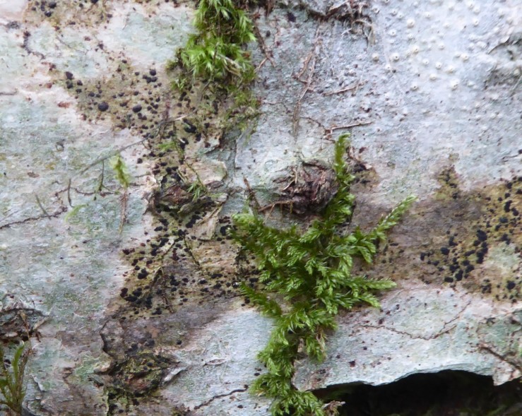
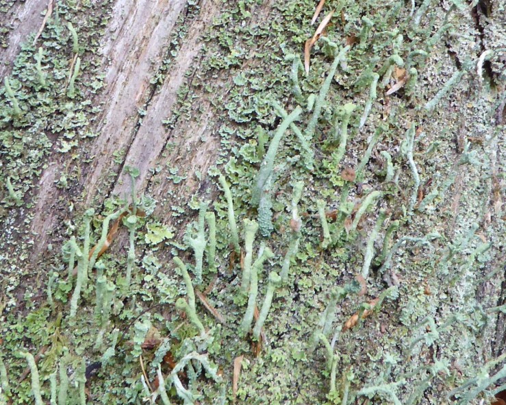
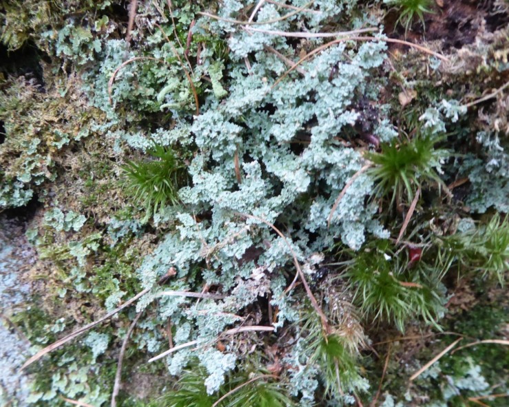
Lichens like the conditions up on this moorland. This shining brown Cetraria aculeata is one of the many types.
Reference: https://designatedsites.naturalengland.org.uk/PDFsForWeb/Citation/1003630.pdf
https://www.bgs.ac.uk/discoveringGeology/time/Fossilfocus/coral.html

 This formation of mudstone, silty, argillaceous siltstone and silty sandstone with seams of sideritic and berthierine-ooidal ironstone, occurs typically at the tops of small scale sedimentary cycles. The land here was quite disturbed and hummocky, vegetated with rough pasture and gorse bushes. The rich red colouring from rabbit burrows shows the presence of red Ochre. Red ochre,
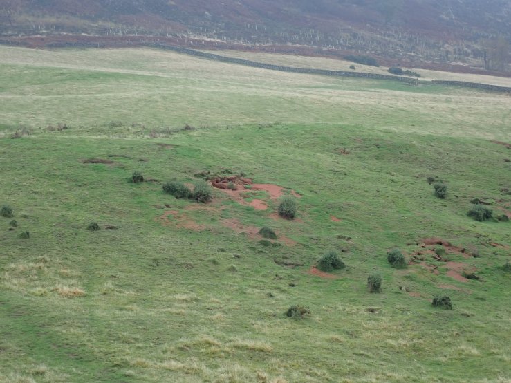
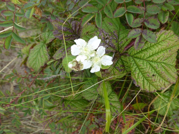
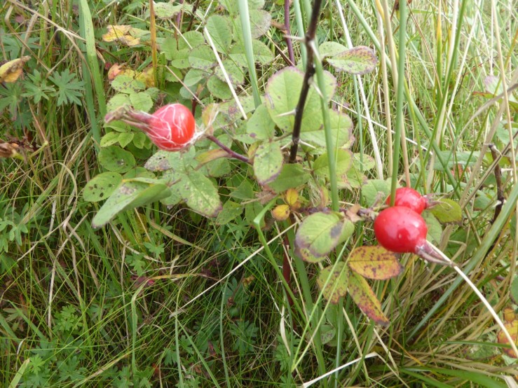
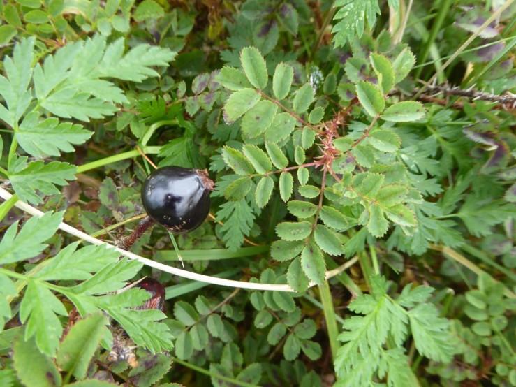 Dewberry (Rubus caesius), still flowering and fruiting amid the Burnet rose.