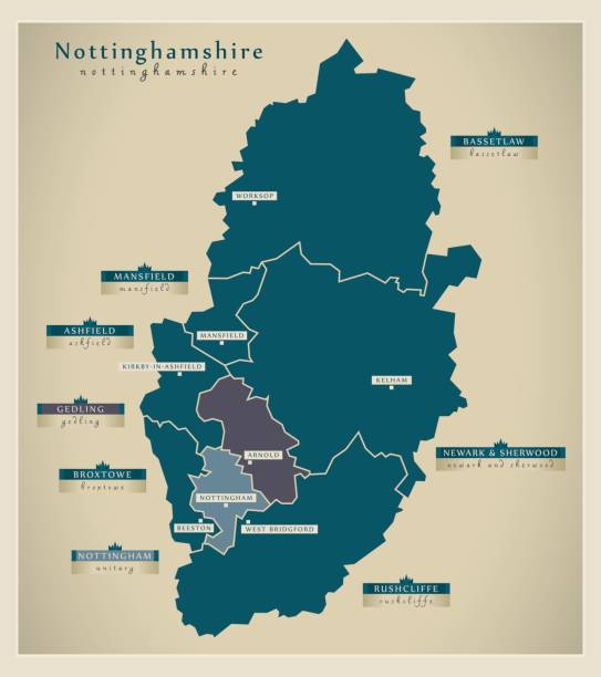
Nottinghamshire Map Pictures, Images and Stock Photos
Browse 210+ nottinghamshire map stock photos and images available, or start a new search to explore more stock photos and images.
Most popular
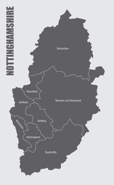
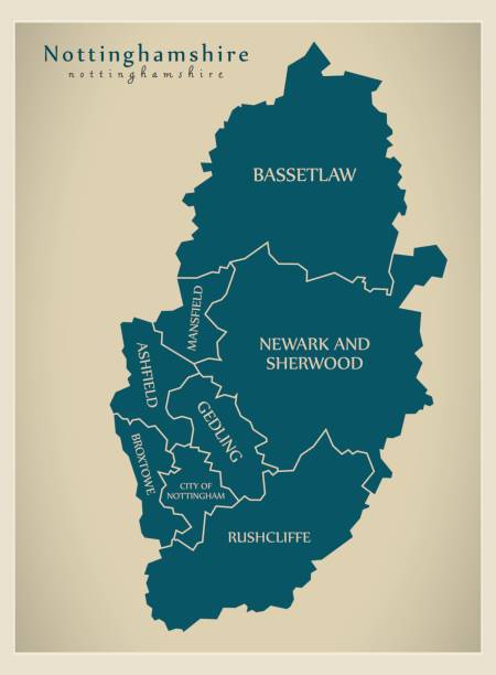
The Nottinghamshire county administrative map, England. Isolated map with labels.
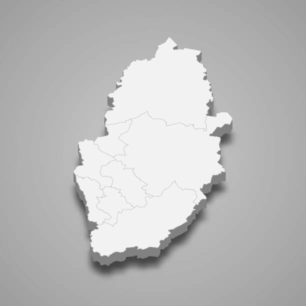
3d map of Nottinghamshire is a ceremonial county of England, vector illustration
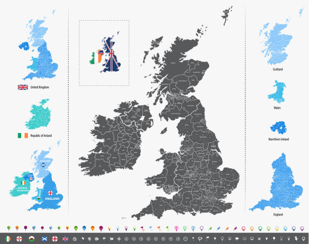
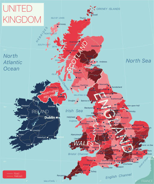
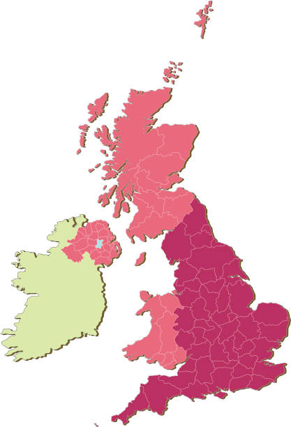
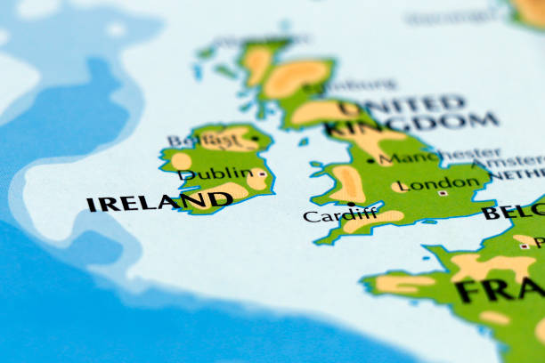
vector map of British Isles administrative divisions colored by countries and regions. Districts and counties maps and flags of United Kingdom,Northern Ireland, Wales, Scotland and Republic of Ireland
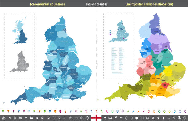
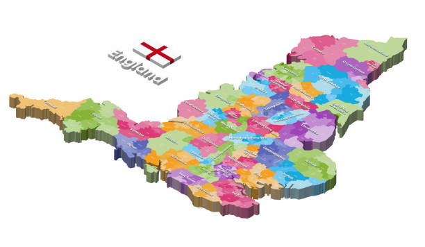
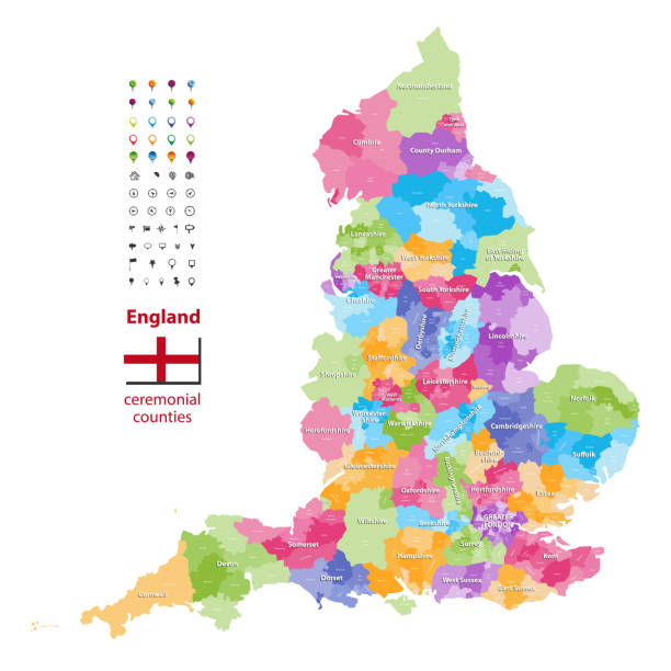
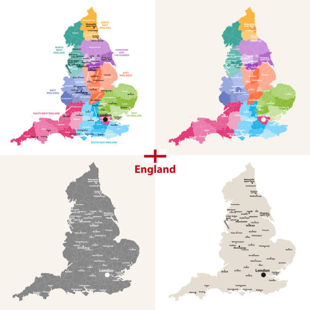
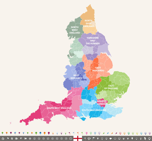
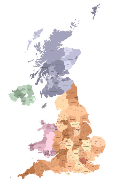
England ceremonial counties vector map colored by regions


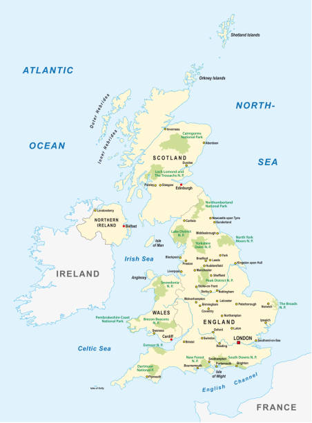
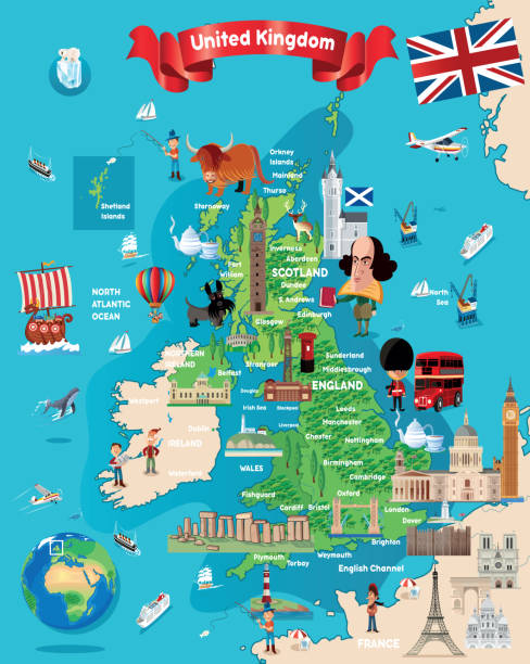
Political map of United Kingdom with capital London, national borders, most important cities, rivers and lakes. Vector illustration with English labeling and scaling.
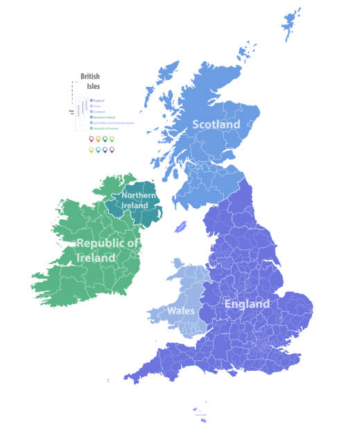
vector map of British Isles administrative divisions colored by countries and regions. Districts and counties maps and flags of United Kingdom,Northern Ireland, Wales, Scotland and Republic of Ireland
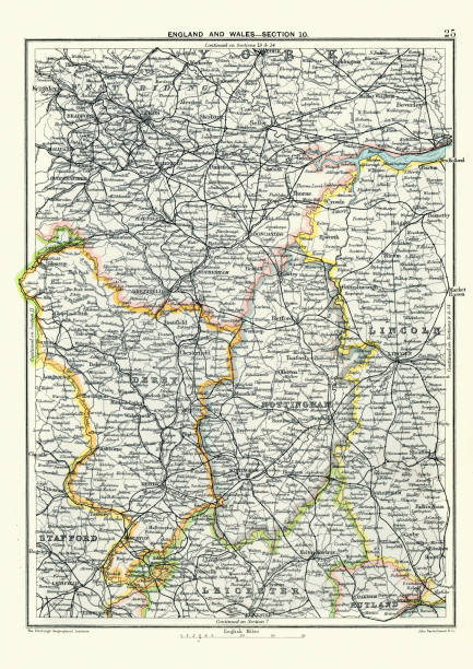
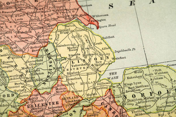
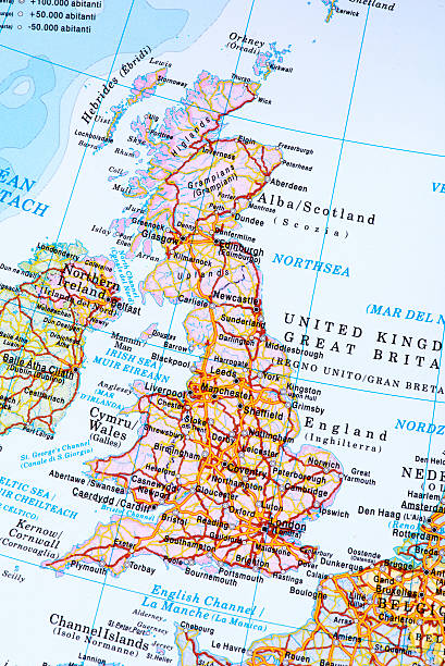
Vintage engraving of a Antique map, West Yorkshire, Derby, Nottingham, Lincoln, Stafford, Leicester, Rutland, England. 19th Century
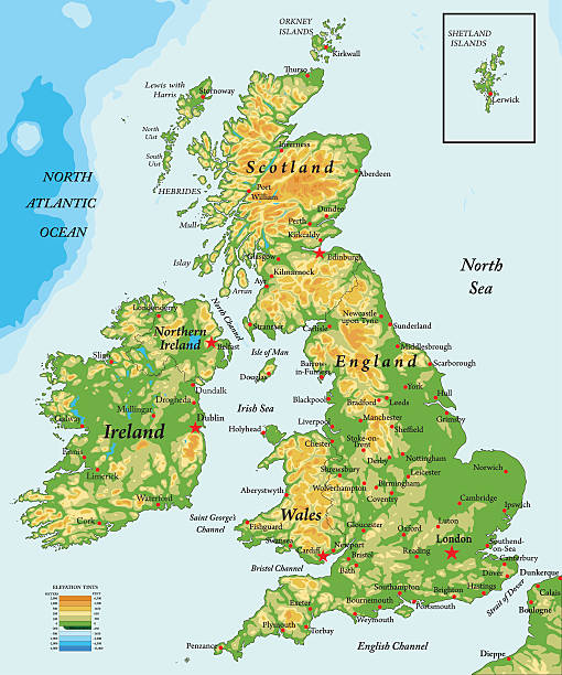
Highly detailed physical map of United Kingdom
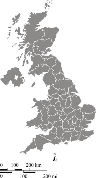
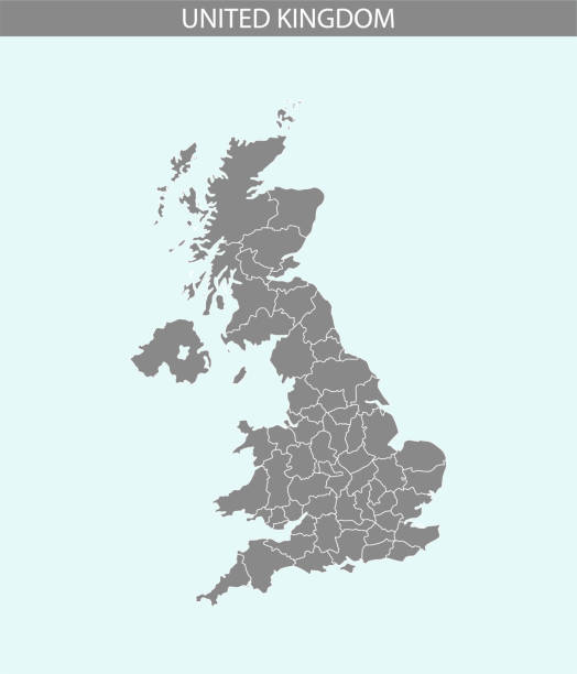
A gray background of United Kingdom map vector outline illustration with miles and kilometer scales and states or counties borders. This vector map of UK has been accurately made by a graphic designer who has a postgraduate degree in GIS and remote sensing. You can use this map to show your study site of a project.
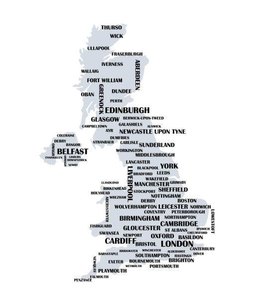
UK map with list of cities. Great Britain educational poster template. Isolated on white.
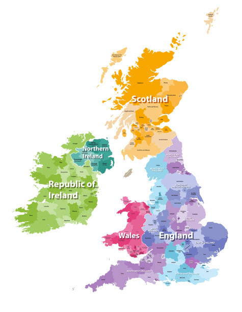
vector map of British Isles administrative divisions colored by countries and regions. Districts and counties maps and flags of United Kingdom,Northern Ireland, Wales, Scotland and Republic of Ireland
This abstract dotted map of United Kingdom is accurately prepared using the overlaid vector map of the UK with highly detailed information.
United Kingdom country detailed editable map with regions cities and towns, roads and railways, geographic sites. Vector EPS-10 file
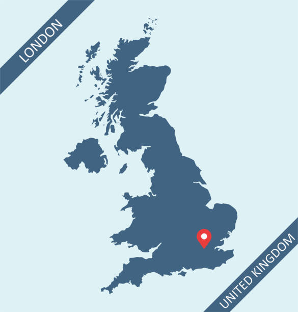
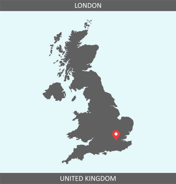
United Kingdom map with its capital location, London, for web page, application, and educational purposes. The map is accurately prepared by a map expert.
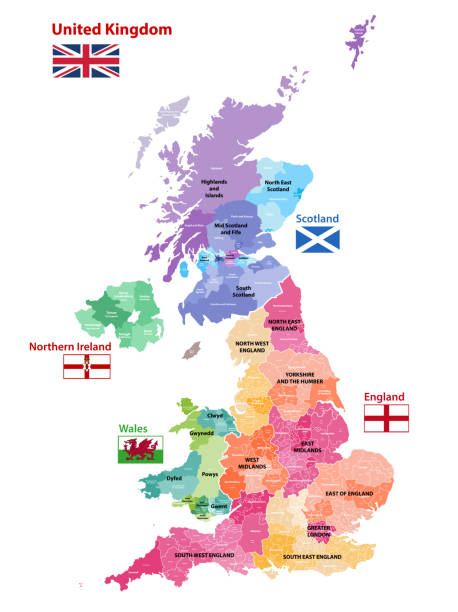
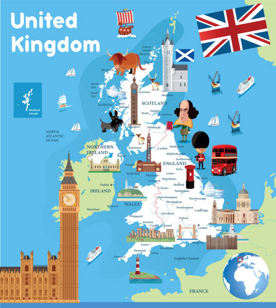
"A detailed and accurate map of the United Kingdom, showing the 4 countries that make up the UK (England,Scotland,Wales and Northern Ireland), as well as all their individual administrative regions or counties, all individually selectable. There is also a base map of the UK below the counties, thus allowing any unwanted regions to be removed and still have land beneath, and also a 3D edge to the land mass, again on a separate layer and removable if not required. All the counties and admin. areas are on separate named layers, with a total of 97 layers. PLEASE NOTE this map addresses a small omission present in previous versions."
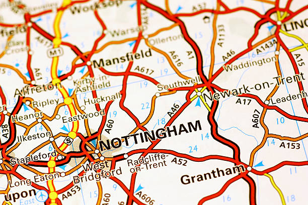
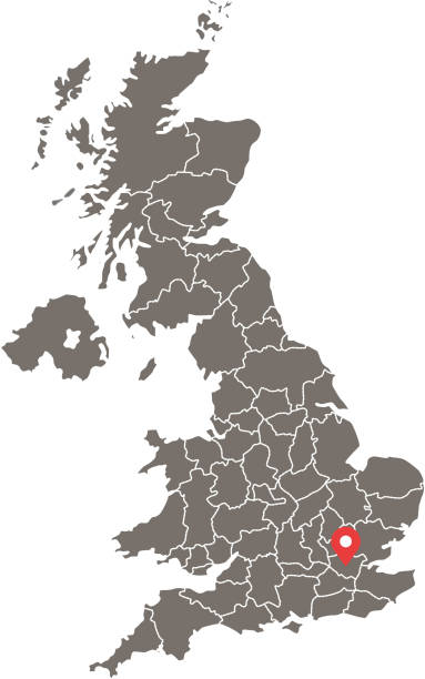
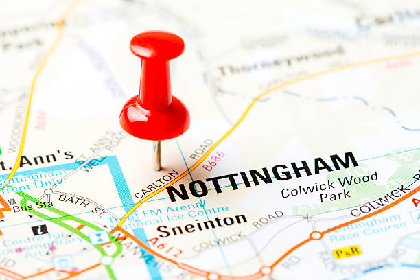
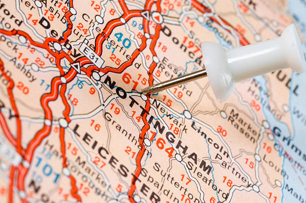
Area of Nottingham (United Kingdom) on a map
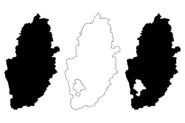
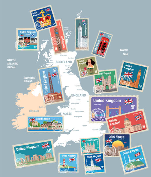
Nottinghamshire (United Kingdom, England, Non-metropolitan county, shire county) map vector illustration, scribble sketch Notts map

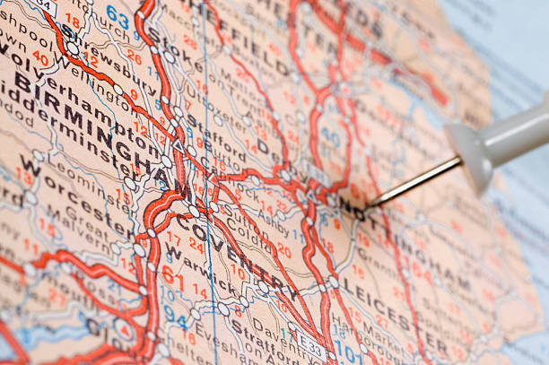
destination united kingdom birmingham coventry leichester nottingham on the mapsoft focus
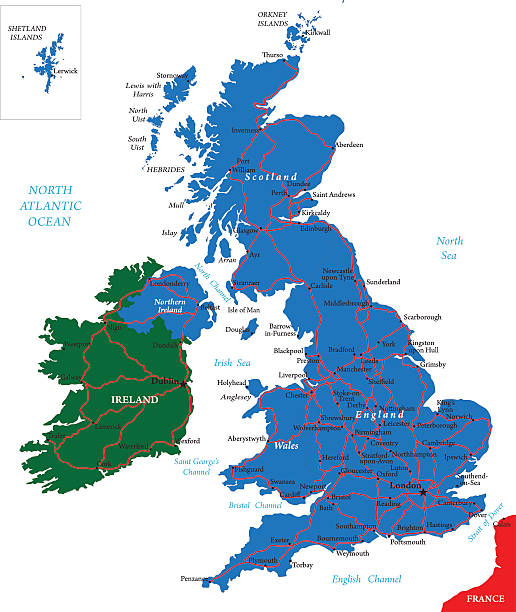
Highly detailed map of United Kingdom.
united kingdom national park vector map

Map of Great Britain (UK) with its capital location, London, for web page, application, and educational purposes. The map is accurately prepared by a map expert.

Highly detailed political United Kingdom map.
Printable outline vector map of United Kingdom (Great Britain) for educational purposes. The map is accurately prepared by a map expert.
Source: "World reference atlas"Source: "World reference atlas"

Nottingham Great Britain City Map in Black and White Color in Retro Style. Outline Map. Vector Illustration.
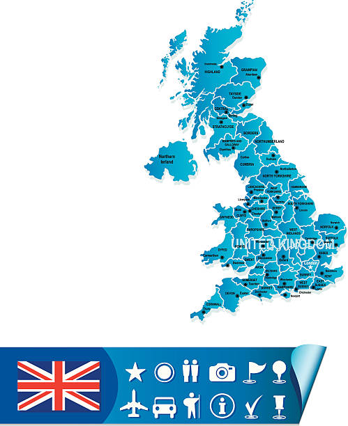
Vector United Kingdom Map
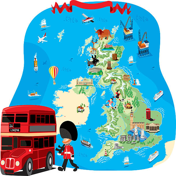
Vector uk cartoon map http://legacy.lib.utexas.edu/maps/europe/united_kingdom_pol87.jpg
destination united kingdom nottAngham on the mapsoft focus


Nottingham silhouette skyline. Great Britain - Nottingham vector city, british linear architecture, buildings. Nottingham line travel illustration, landmarks. Great Britain flat icon, british outline design banner
Map of England. Detail from the World Map.
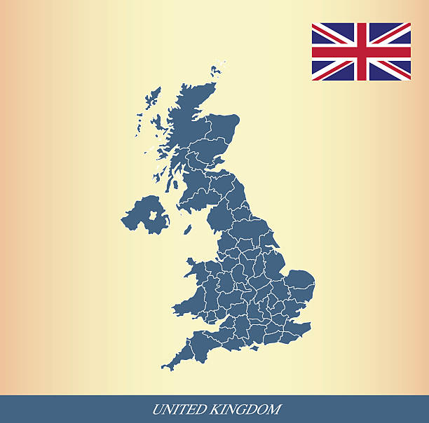
United Kingdom flag outline vector and UK map vector outline with states or provinces borders in a creative design
This abstract dotted UK map is accurately prepared using the overlaid vector map of the UK with highly detailed information. The map is prepared by a GIS and remote sensing specialist.
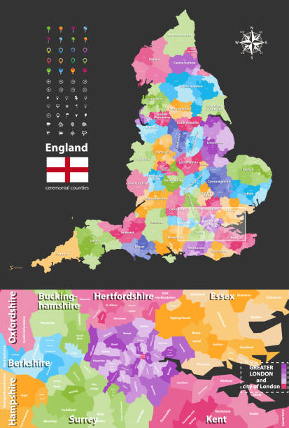
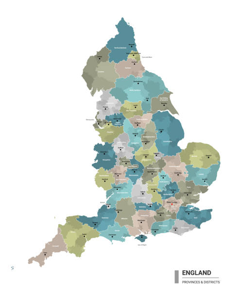
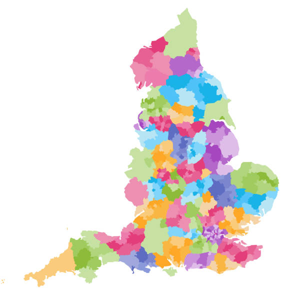
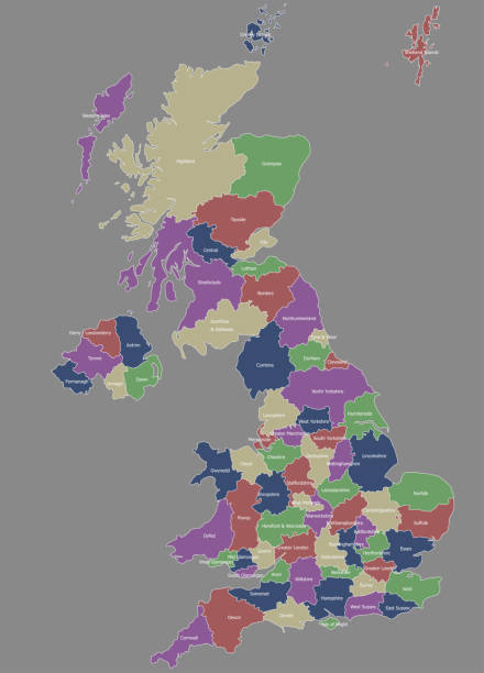
England ceremonial counties and their districts vector map. Each county distinctions between each other by different color palette
http://s017.radikal.ru/i410/1110/e5/b7d44df3f1f1.jpg
Vector uk cartoon map http://legacy.lib.utexas.edu/maps/europe/united_kingdom_pol87.jpg
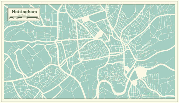
Nottingham Great Britain (United Kingdom) City Map in Retro Style. Outline Map. Vector Illustration.
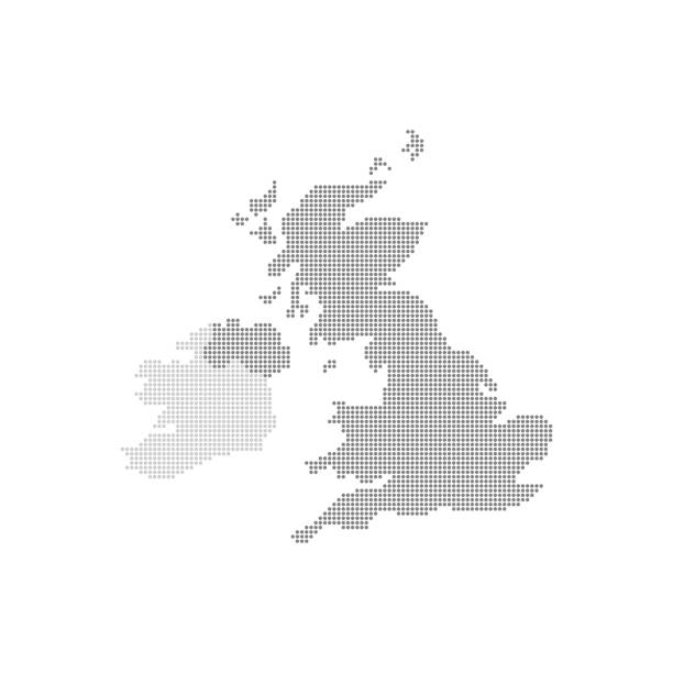
Grey Map United Kingdom In The Dot . Vector illustration.