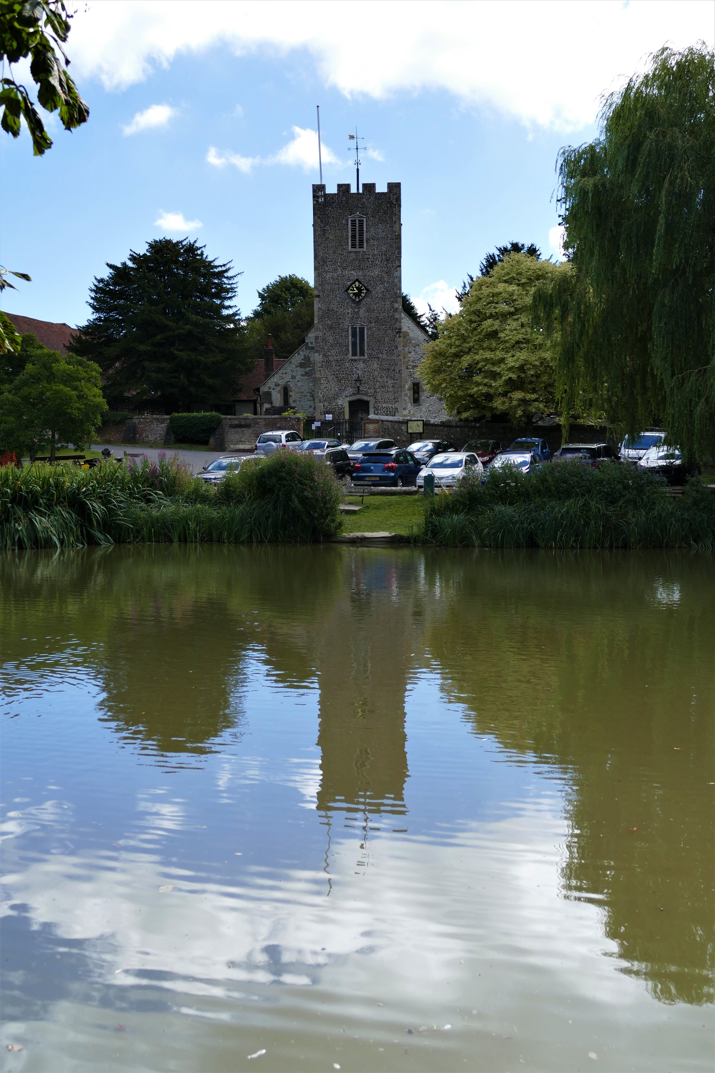
Buriton
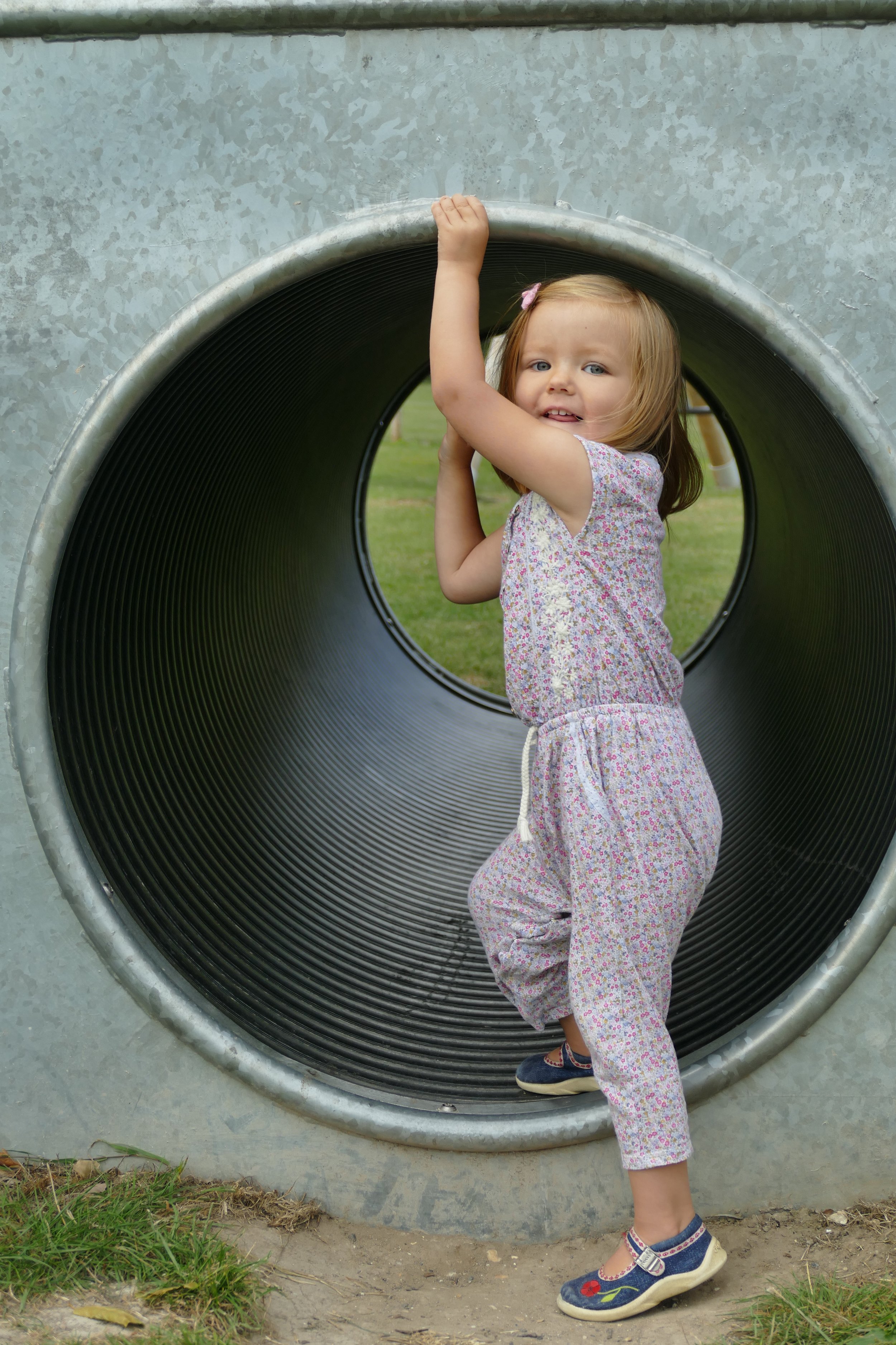
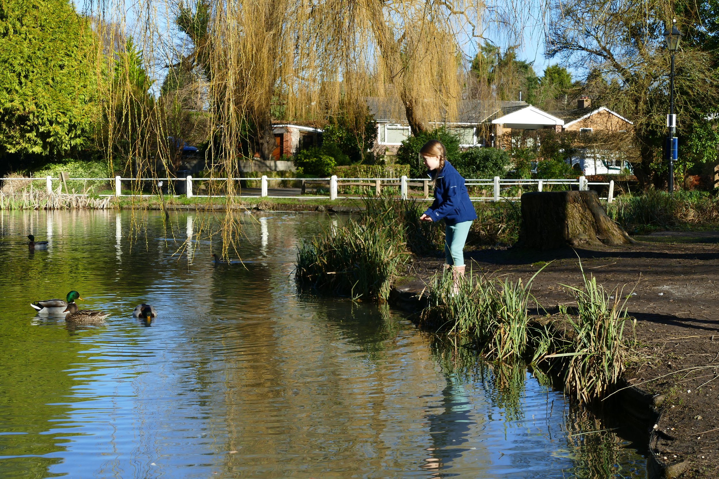
Children will enjoy the duck pond and a paddle in wellies as well as an excellent village play area on this walk.

The Basics
Time: 40 mins
Distance: 1.8 km
Terrain: Woodland paths, tarmac lane, a couple of steep sections
Pushchair: No
Dogs: Yes
Refreshments: Although not quite on the route, Buriton has a new family friendly pub, The Nest
Toilets: None
Parking: Car park beside the pond in front of the church, free (Postcode: GU31 5RT - W3W: segments/slings/paddocks)

Buriton has long been one of our favourite villages to take a Sunday afternoon stroll around. The girls love to feed the ducks and the well equipped park is one of their favourites. This walk leaves the village pond and heads up through woodland via old chalk pits where you can look for some hidden wooden animals in the trees.
The Route
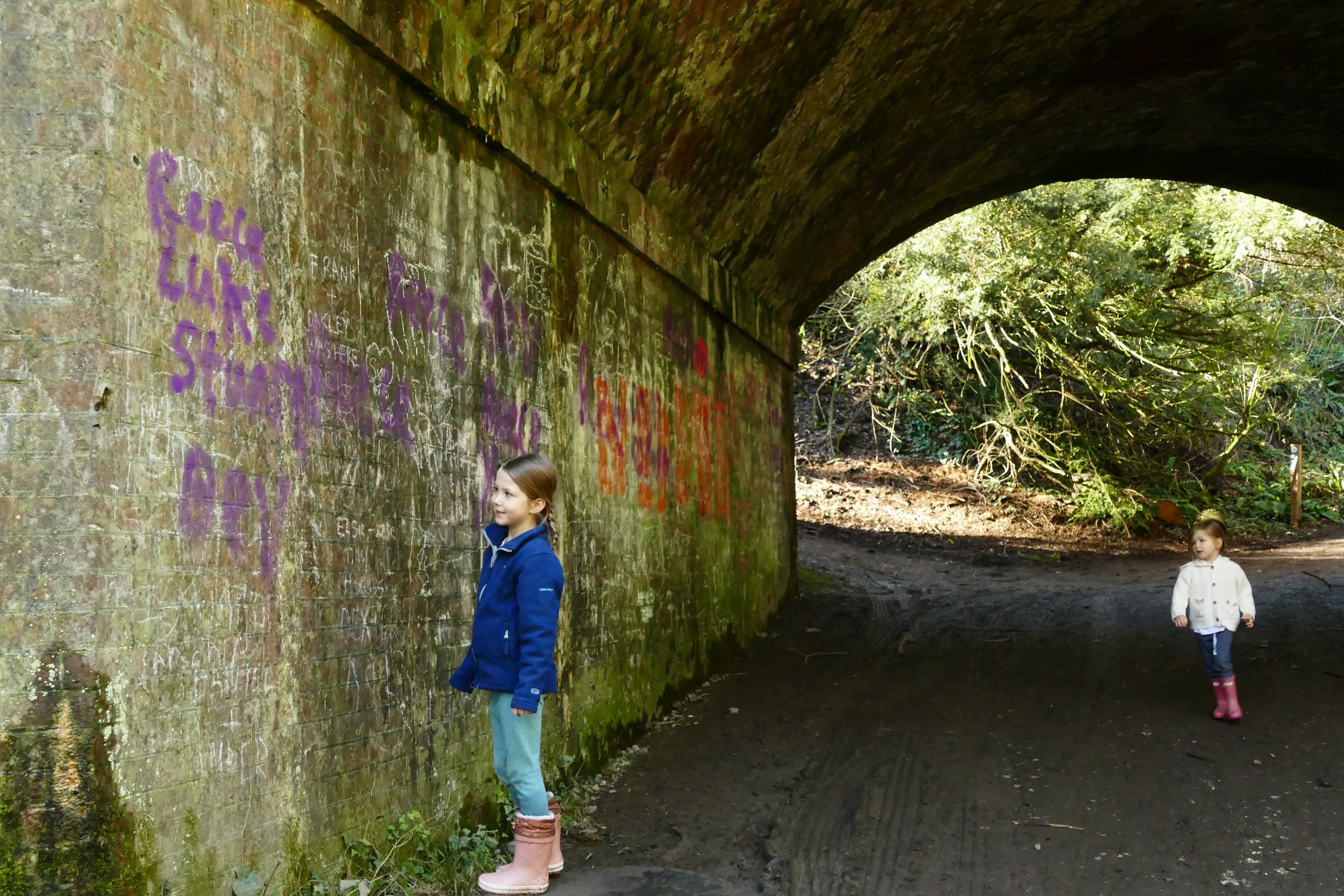
After feeding the ducks and enjoying the pond, begin the walk by walking down South Lane on the opposite side of the pond to the church. This will take you past some pretty thatched cottages and under the railway bridge. The train tracks are often in sight on this walk, making it a good choice for children who are train enthusiasts.
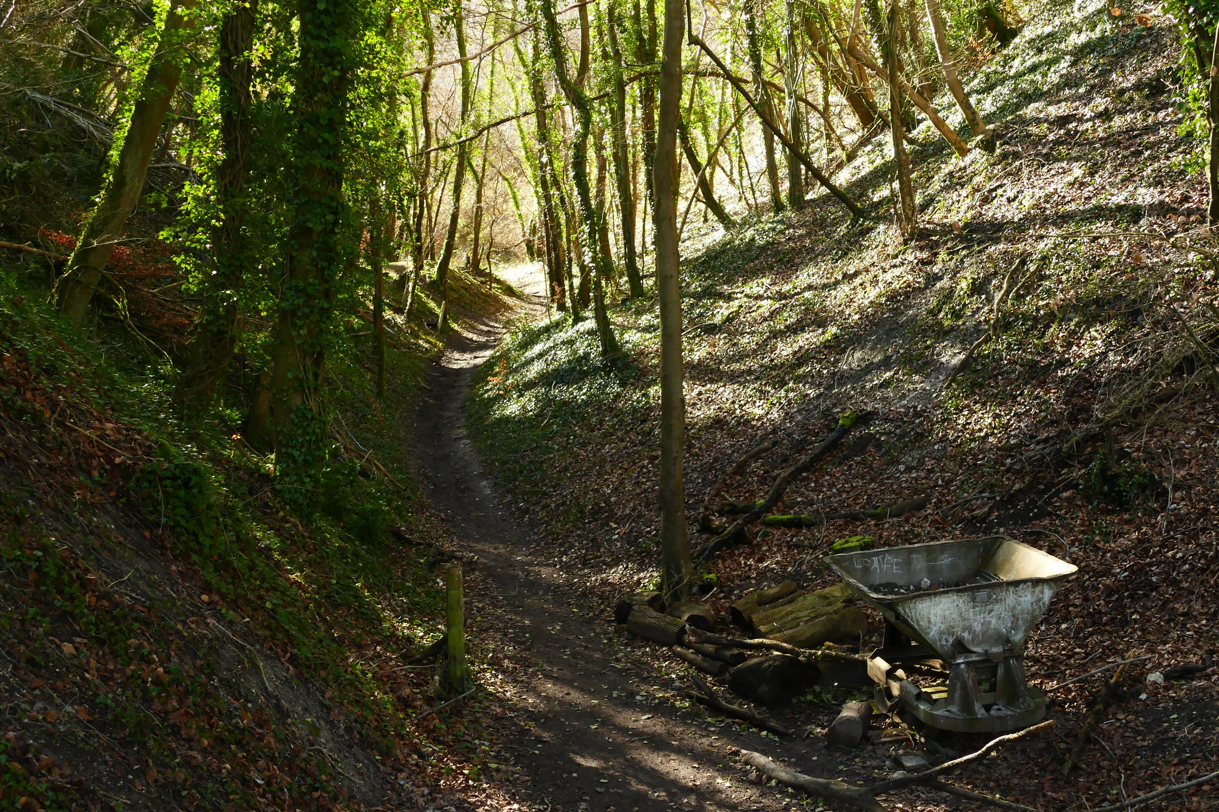
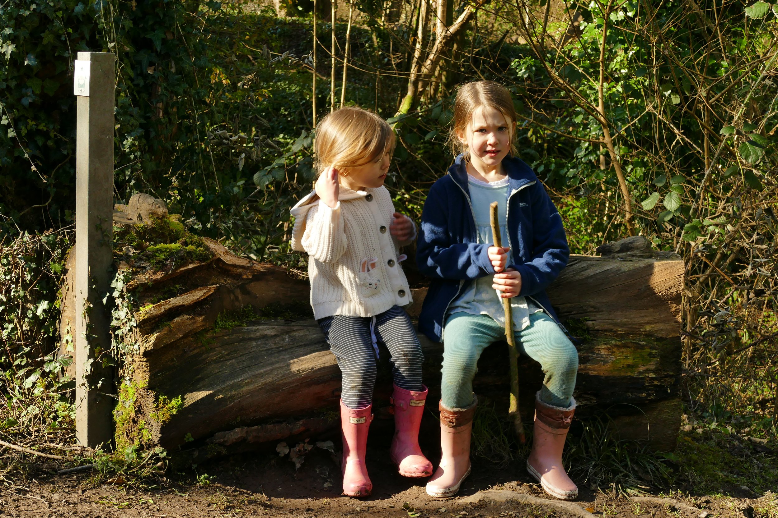
After going under the bridge, head up the hill through the woodland/chalk pits. Ignore all paths to the left and right and and continue to the top of the hill where you will come to a road (just before the top, look out for the bench carved with woodland animals).
The next path you need to take is on your left, immediately before the road. The start is marked by a stone spiral sculpture. Walk along the narrow path with the fence to your left and the road to your right. Ignore any gates to your left and continue to the point where the fence ends, just past the second gate.
If you continue straight here, you will meet a large fallen tree which you would need to climb to get around. You can then continue to meet with section 5 further ahead. If you think you want to avoid the fallen tree, then at the end of section 3, where the fence ends, head up to the right to join the lane.
Turn left and walk along the lane where you will shortly see a footpath post pointing you back down the hill. This path will take you back to join the path, having avoided the fallen tree. Walk along the side of the hill with a yew tree grove coming into sight on your left. The path will then widen as it veers left and down a slightly steep hill.
As you go down, you will see the railway tracks and a pond down to your left and as the trees come to an end, a gate will take you down a path between two fields. The church will be ahead of you.
*The play area is a hundred metres or so up the high street from the pond. Look out for a footpath on your left going between houses and the park is just beyond the village hall. You can also park in the car park here if the church car park is full.
We recommend viewing the interactive map below as a ‘Trails Map’:

Did you know?
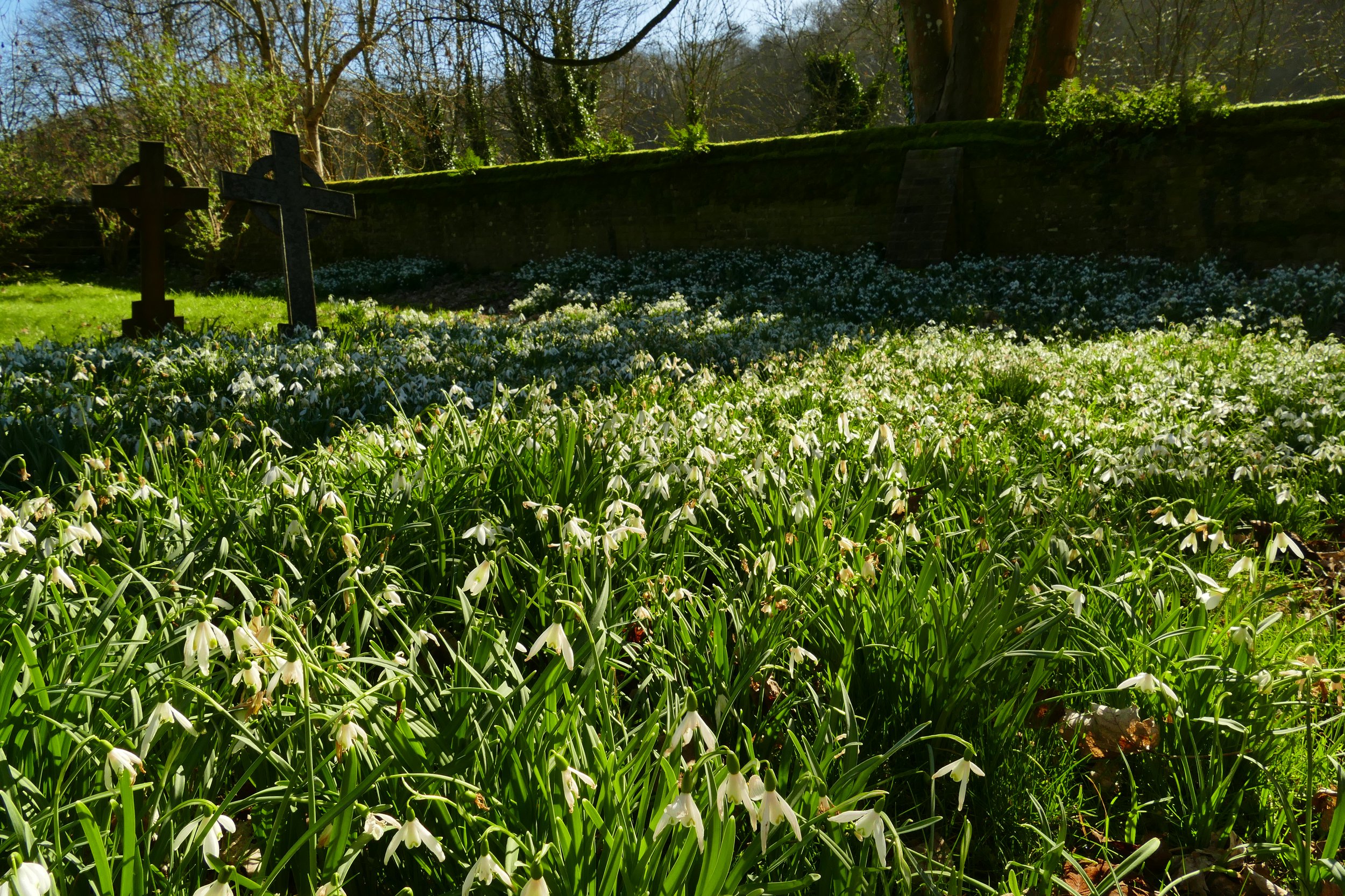
Chalk was quarried from the Buriton pits up until the second world war and you can still see both the pits and heaps of spoil. Some of the paths you will walk on were once the narrow gauge railway lines used to transport the calk and lime. One of the carts has been left for walkers to view.