Kinder Scout Plateau
Distance: 31.8km (19.75 Miles)
Ascent: 1181m (3875ft)
Duration: 9 Hours 21 Minutes
The first full day in the Peak District and what a day I had planned. After breakfast I started the walk, got back had dinner and went back to bed! Todays walk was around the entire Kinder Scout plateau and I knew it was going to be a long one.

Grinds Brook fairly early in the morning - all cloudy at the moment.

A slight break in the cloud with a little view down to Edale.

Lose Hill which is where I was yesterday although in totally different weather! From here on the cloud was lifting allowing some lovely views.
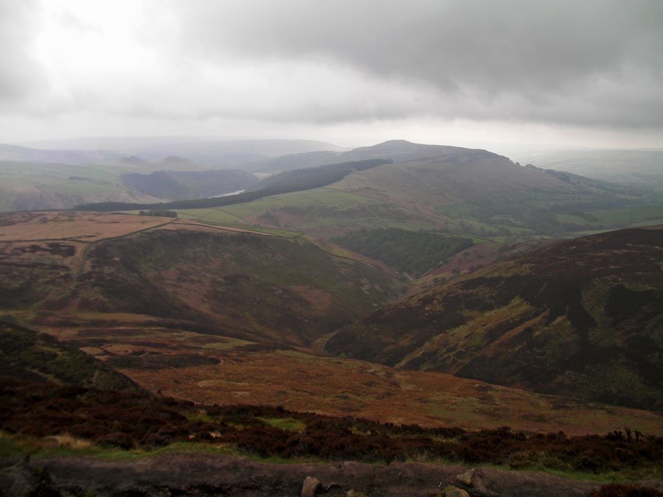
A little speck of Ladybower Reservoir and Win Hill.

Some rays of sunshine over the moors to the north!

Lovely scenery over Hope Forest and the River Ashop.

Fair Brook snaking down to the River Ashop.

Interesting rock formations along the plateau.
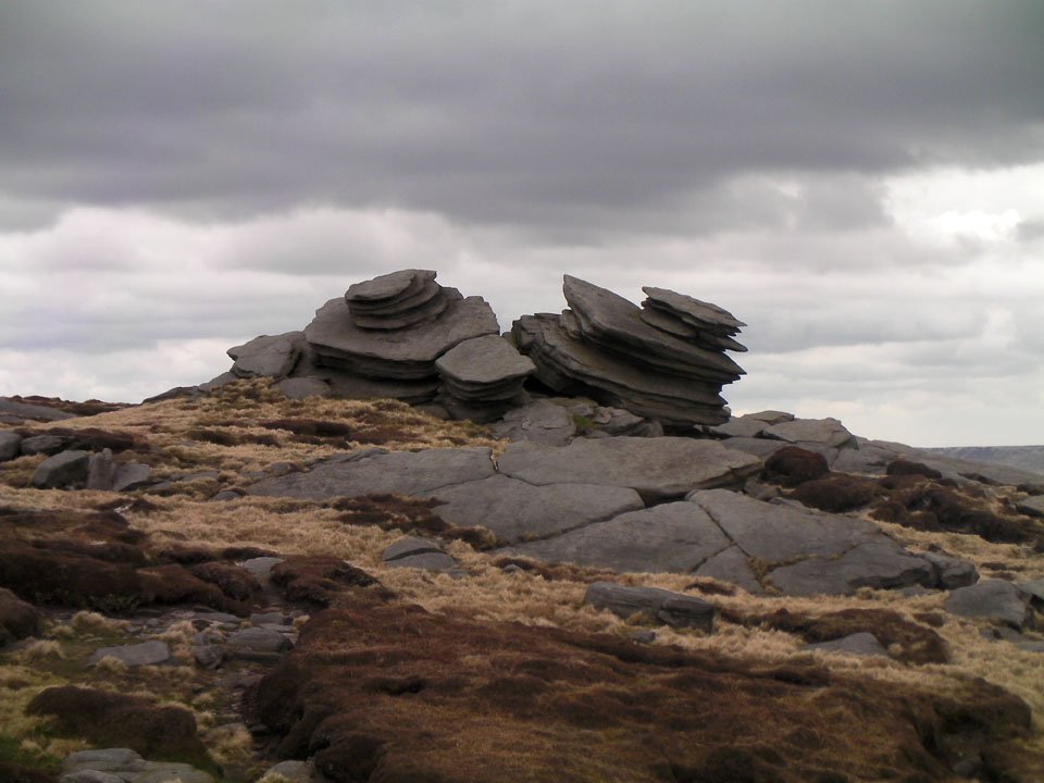
More rock formations near Fairbrook Naze.

Hope Forest from Fairbrook Naze.

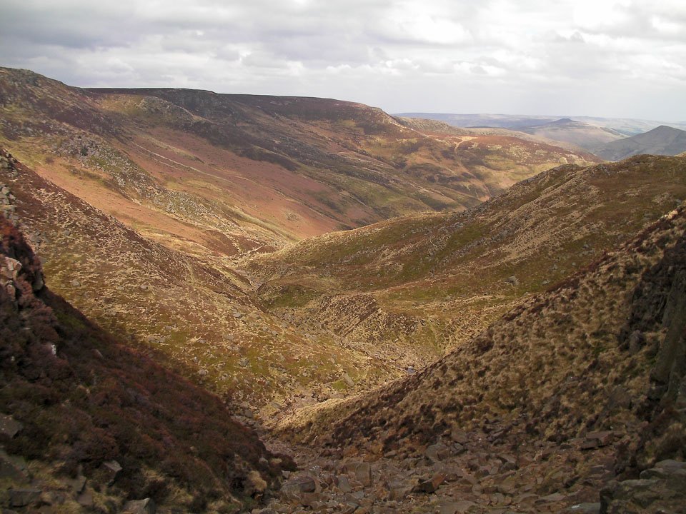
The plateau edge looking east. I've just walked the full length you can see plus another 10km or so before that!

Awesome rocky outcrops along the edge of the Plateau near Seal Edge.

The Edge along the northern side of the Plateau.

A wide shot of The Edge. Almost at the Pennine Way where I turned south to Kinder Downfall.

Kinder Downfall - very dry today...
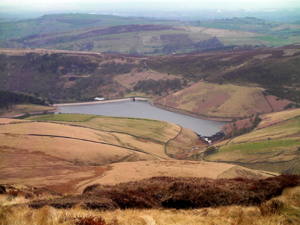
Kinder Reservoir.

The trig column on Kinder Low - the highest point on todays walk.

Edale Rocks - I think this is a popular place for Bouldering.

The western end of Edale looking rather dull now the cloud has come in again.
Grinds Brook in the sunshine.